Login

Zapomniałeś swój login?

Cookies have to be accepted!
Your browser's cookie functionality is disabled. Please enable this functionality.

Not a member yet?

Register now
Login

Available for registred users only

Log in to use this feature.

Zapomniałeś swój login?

Cookies have to be accepted!
Your browser's cookie functionality is disabled. Please enable this functionality.

Not a member yet?

Register now
Filter
Kategorie
Advanced filters
  • Długość (km)
  • Wysokość
Zapisz filtr Reset filter

TrackRank

QRCode

Technical data

Długość14,3 km Wysokość425 m Way down429 m Czas trwania03:00 h:m Data27.01.2013
Oceny Author Krajobraz Czynnik zadowolenia Kondycja Technika

Statystyka

1902 Widoki Oceny 36 Downloads / Pliki do pobrania Przeciętnie
Rate
  • Karta trasy
  • Dojazd
  • Downloads / Pliki do pobrania
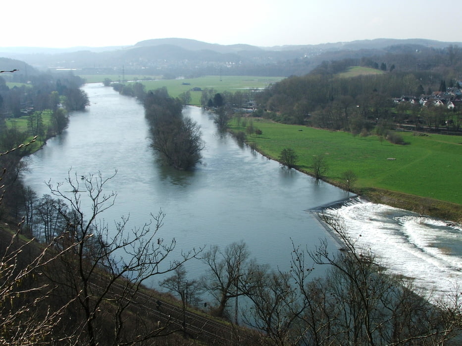
Von Wetter nach Witten: es werden mehrere Bachtäler gekreuzt, jedes Mal mit steilem Ab- und wieder Anstieg; von den Höhen Ausblicke ins Ruhrtal, besonders schön im Bereich Hohenstein.

Galeria trasy

Mapa trasy i profil wysokości

  • Open Street Map
  • Google
Minimum height 71 m Maximum height 234 m Widok szczegółowy

More about the tour author

lothardomnik
Member since 2009

Send private message

Komentarze

rudido on 20.04.2014

Waldlauf

Grundsätzlich ist die Tour ganz schön. Aber da läuft man schon ziemlich nah an der Ruhr entlang, dann fast ständig durch den Wald. Schade, schöne Ausblicke gab es (im April) eigentlich nur an wenigen Stellen. Wenigstens hat man über lange Strecken seine Ruhe, und der Waldboden bzw. die Forstwege sind gut zu beschreiten.
Direkte Zugverbindungen nach Wetter und von Witten gibt es mit Essen, Bochum, Dortmund und Hagen.

GPS tracks

Trackpoints
  • GPX / Garmin Map Source (gpx) download
  • TCX / Garmin Training Center® (tcx) download
  • CRS / Garmin Training Center® (crs) download
  • Google Earth (kml) download
  • G7ToWin (g7t) download
  • TTQV (trk) download
  • Overlay (ovl) download
  • Fugawi (txt) download
  • Kompass (DAV) Track (tk) download
  • Karta trasy (pdf) download
  • Original file of the author (gpx) download

More about the tour author

lothardomnik
Member since 2009

Send private message
Share track
Add to my favorites
Remove from my favorites
Edit tags
My score
Rate
Trasa: Ruhrgebiet: Westliches Ardeygebirge (1)
Rodzaj: Wędrówki
Długość: 14,3 km
Evaluated on:
Czas trwania:
Day(s)
Hour(s)
Minute(s)
Ocena: Krajobraz Czynnik zadowolenia Kondycja Technika