


Die Tour startet auf einem kleinen Parkplatz in der Nähe des Sankt Annaguts und führt zunächst bergab nach Burrweiler. Anschließend geht es weiter durch das Modenbach- und Ziegelbachtal bergauf zur Schutzhütte Drei Märker.
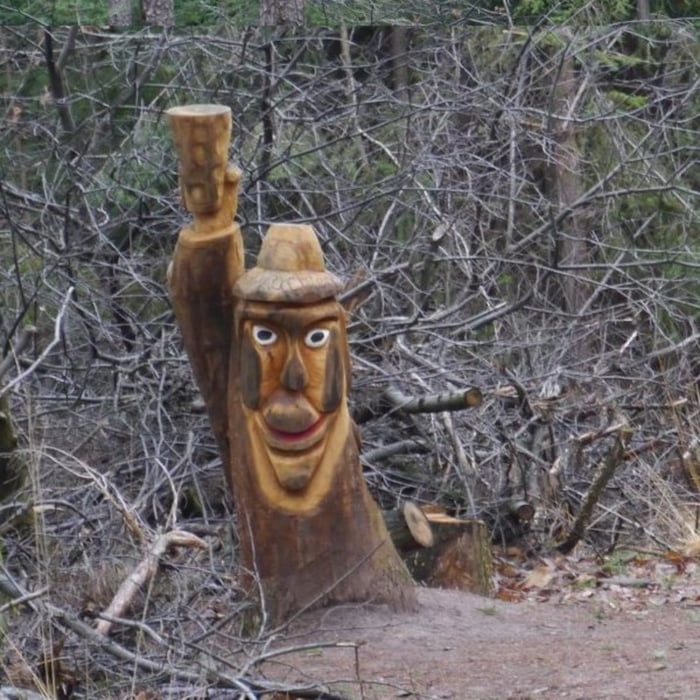
Auf dem Weg zur Trifelsblick Hütte findet man eine Reihe von Holzskulpturen die Reinhold Müller sehr schön in Bäume und Stümpfe geschnitzt hat. Wie der Name der Trifelsblick Hütte dies bereits andeutet, ist von dort einen sehr schönen Ausblick auf den Trifels möglich.
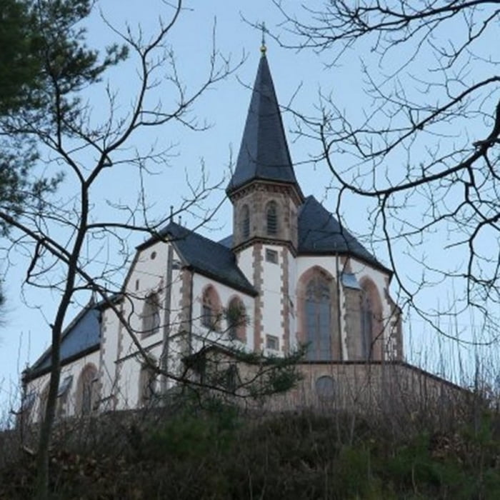
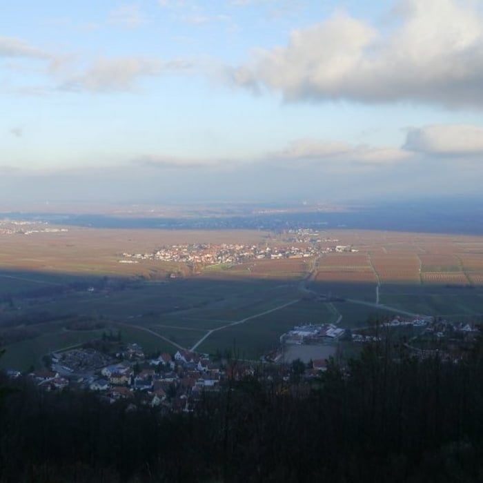
Auf dem Weg zurück zum Ausgangspunkt liegen direkt nebeneinander die Sankt Anna Hütte und die Kapelle. Sowohl von der Kapelle als auch vom etwas tiefer gelegenen Sankt Annagut ist ein herrlicher Ausblick auf die Rheinebene möglich.
Galeria trasy

Mapa trasy i profil wysokości
Minimum height 240 m
Maximum height 526 m
More about the tour author

|
isg13 |
Komentarze

Startpunkt der Tour ist ein kleine Parkplatz in der Nähe des Sankt Annaguts bei in Burrweiler.
GPS tracks
Trackpoints-
GPX / Garmin Map Source (gpx) download
-
TCX / Garmin Training Center® (tcx) download
-
CRS / Garmin Training Center® (crs) download
-
Google Earth (kml) download
-
G7ToWin (g7t) download
-
TTQV (trk) download
-
Overlay (ovl) download
-
Fugawi (txt) download
-
Kompass (DAV) Track (tk) download
-
Karta trasy (pdf) download
-
Original file of the author (gpx) download
More about the tour author
|
|
isg13 |
Add to my favorites
Remove from my favorites
Edit tags
Open track
My score
Rate