
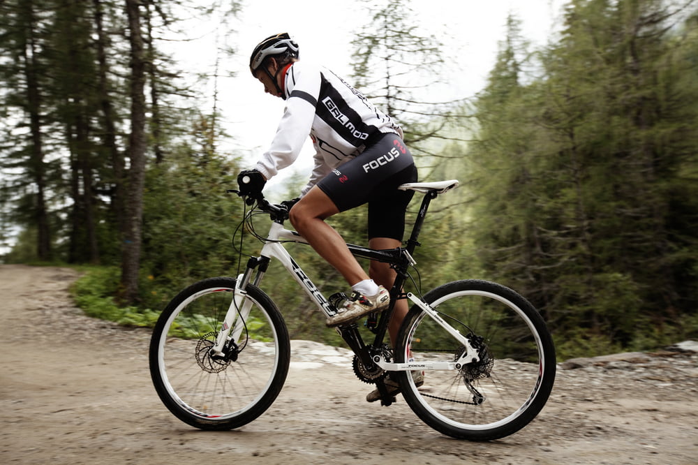

Nato come percorso di gara nel 2007, è diventato poi circuito permanente, interamente tabellato. Un tour che si caratterizza per salite e discese entusiasmanti su strade ciotolate di paese, strade sterrate, single track. Alcuni tratti di collegamento su strada attraversano i quattro comuni dell’Ecomuseo del Lagorai, tra vecchi manieri, antichi borghi, suggestivi panorami, boschi e castagni secolari.
2007 als Wettkampfstrecke entstanden und heute permanente, vollständig ausgeschilderte, Rennstrecke. Eine Tour, die aus Anstiegen und fantastischen Abfahrten besteht und auf Kopfsteinpflasterstraßen im Ort, Schotterstraßen und Singletracks verläuft. Einige Verbindungsstücke führen durch die vier Gemeinden des Ecomuseo Lagorai, über alte Saumpfade, durch antike Orte mit suggestiven Panoramen, vorbei an Wäldern und hunderte Jahre alten Kastanienhainen.
Born as a trail competition in 2007, it has become a permanent route and it is completely marked. The tour is characterized by exciting uphills and descents on cobbled roads, dirt roads, single tracks and road connections through the four municipalities of the “Ecomuseo del Lagorai”, along old manors, ancient hamlets, suggestive landscapes, woods and old chestnut trees.
Mapa trasy i profil wysokości
Minimum height 378 m
Maximum height 990 m
More about the tour author

|
valsuganaapt |
Komentarze

GPS tracks
Trackpoints-
GPX / Garmin Map Source (gpx) download
-
TCX / Garmin Training Center® (tcx) download
-
CRS / Garmin Training Center® (crs) download
-
Google Earth (kml) download
-
G7ToWin (g7t) download
-
TTQV (trk) download
-
Overlay (ovl) download
-
Fugawi (txt) download
-
Kompass (DAV) Track (tk) download
-
Karta trasy (pdf) download
-
Original file of the author (gpx) download
More about the tour author
|
|
valsuganaapt |
Add to my favorites
Remove from my favorites
Edit tags
Open track
My score
Rate