
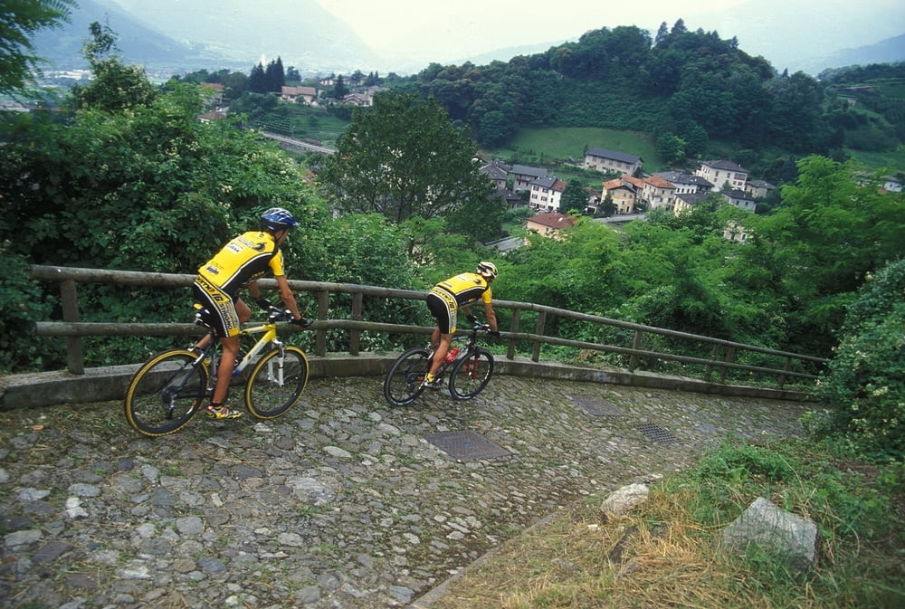

L’itinerario ci porta alla scoperta della valle del Fersina, detta anche “Val dei Mocheni”, che ha saputo mantenere, con il passare degli anni, una forte e solida tradizione culturale che le ha conferito una particolare identità. La prima parte si sviluppa su strada asfaltata passando fra le varie frazioni, poi una volta raggiunto Palù del Fersina si rientra al punto di partenza percorrendo sempre in discesa una strada sterrata che costeggia il torrente Fersina.
Tour der kleinen Früchte
Diese Tour ermöglicht es uns, das Tal der Fersina, auch “Val dei Mocheni” genannt, zu erkunden. Das Fersental ist ein Tal reich an Kultur und Traditionen, die sich über die Jahre hinweg erhalten und eine besondere Idendität der Bewohner hervorgebracht haben. Der erste Streckenabschnitt verläuft auf asphaltierter Straße, durch die verschiedenen Ortsteile. Einmal in Palù del Fersina angekommen, geht es auf einer Schotterstraße, am Bach Fersina entlang, zum Ausgangspunkt zurück.
Small fruits tour
The route leads us to discover Valle del Fersina, also called “Val dei Mocheni”: during the years the valley has kept a strong cultural tradition, that has given a particular identity to the territory. The first part of the tour is on asphalt road and passes by the hamlets; once you have reached Palù del Fersina, come back to the starting point by riding down on an unpaved road along Fersina stream.
Mapa trasy i profil wysokości
Minimum height 586 m
Maximum height 1328 m
More about the tour author

|
valsuganaapt |
Komentarze

GPS tracks
Trackpoints-
GPX / Garmin Map Source (gpx) download
-
TCX / Garmin Training Center® (tcx) download
-
CRS / Garmin Training Center® (crs) download
-
Google Earth (kml) download
-
G7ToWin (g7t) download
-
TTQV (trk) download
-
Overlay (ovl) download
-
Fugawi (txt) download
-
Kompass (DAV) Track (tk) download
-
Karta trasy (pdf) download
-
Original file of the author (gpx) download
More about the tour author
|
|
valsuganaapt |
Add to my favorites
Remove from my favorites
Edit tags
Open track
My score
Rate