Login

Zapomniałeś swój login?

Cookies have to be accepted!
Your browser's cookie functionality is disabled. Please enable this functionality.

Not a member yet?

Register now
Login

Available for registred users only

Log in to use this feature.

Zapomniałeś swój login?

Cookies have to be accepted!
Your browser's cookie functionality is disabled. Please enable this functionality.

Not a member yet?

Register now
Filter
Kategorie
Advanced filters
  • Długość (km)
  • Wysokość
Zapisz filtr Reset filter

TrackRank

QRCode

Technical data

Długość21,8 km Wysokość0 m Way down0 m Czas trwania02:20 h:m Data23.03.2013
Oceny Author Krajobraz Czynnik zadowolenia Kondycja Technika

Statystyka

980 Widoki Oceny 21 Downloads / Pliki do pobrania Przeciętnie
Rate
  • Karta trasy
  • Dojazd
  • Downloads / Pliki do pobrania


de route 23 maart gelopen. hij is prachtig maar ik heb de route op een viertal plaatsen aangepast.


1 bij theehuis 't hoge erf (lastig te vinden en doep spoor)

2 bij lage vuurche (de dicht bij bebouwing)

3 bij het nonnenpad (niet mer langs drukke weg)

4 pluismeer en paleis Soestdijk (niet meer langs hek maar over mtb route)
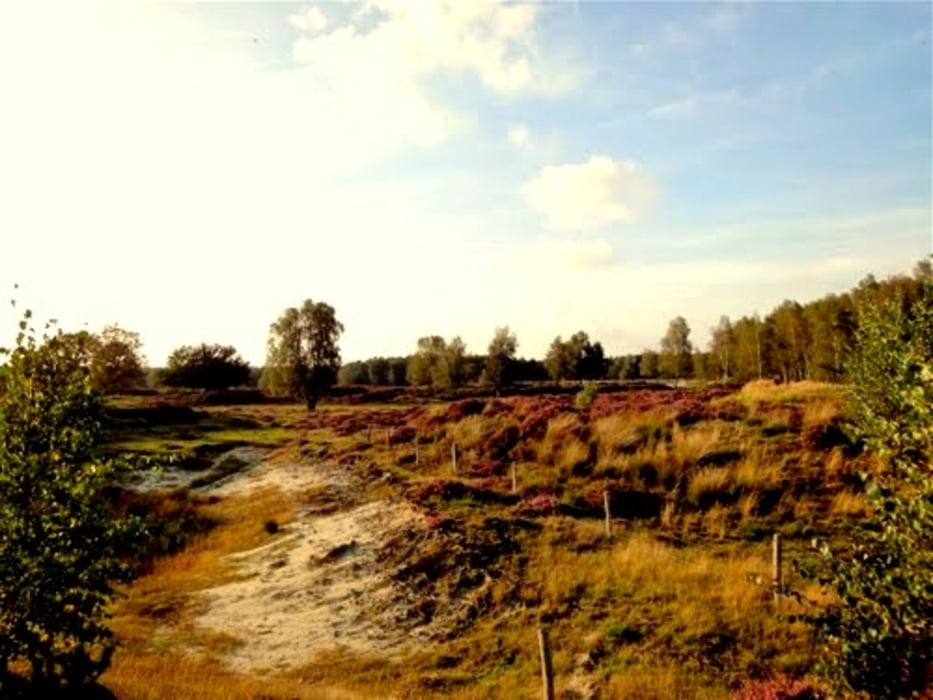
Galeria trasy

Mapa trasy i profil wysokości

  • Open Street Map
  • Google
Minimum height 99999 m Maximum height -99999 m Widok szczegółowy

More about the tour author

klaaselzinga
Member since 2011

Send private message

Komentarze

start finish bij scoutcentrum buitenzorg Baarn

GPS tracks

Trackpoints
  • GPX / Garmin Map Source (gpx) download
  • TCX / Garmin Training Center® (tcx) download
  • CRS / Garmin Training Center® (crs) download
  • Google Earth (kml) download
  • G7ToWin (g7t) download
  • TTQV (trk) download
  • Overlay (ovl) download
  • Fugawi (txt) download
  • Kompass (DAV) Track (tk) download
  • Karta trasy (pdf) download
  • Original file of the author (gpx) download

More about the tour author

klaaselzinga
Member since 2011

Send private message
Share track
Add to my favorites
Remove from my favorites
Edit tags
My score
Rate
Trasa: Lage Vuursche (Baarn Hilversum Soest) verbeterd
Rodzaj: Biegi
Długość: 21,8 km
Evaluated on:
Czas trwania:
Day(s)
Hour(s)
Minute(s)
Ocena: Krajobraz Czynnik zadowolenia Kondycja Technika