


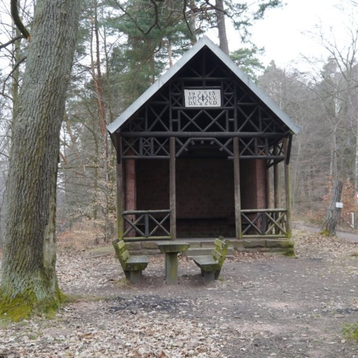
Vom Parkplatz in der Nähe des Naturfreundehauses führt die Route zunächst bergauf zur Burg Hardenberg.Durch einen kleinen Torbogen in der Burgmauer geht es auf dem, mit einem gelben Kreuz gekennzeichneten, sehr schönen Naturpfad ebenfalls leicht bergauf weiter - unterwegs läd ein kleine kleine Quelle mit Picknicktisch zum rasten ein. Kurz nach einem idyllisch im Wald liegenden Wohnhaus verlassen wir den Pfad und wechseln auf den weiß blau gekennzeichneten Weg der hinunter ins Schwabenbachtal führt. Beide Wanderweg die bis ins Tal führen sind sehr schöne, weich gepolsterte Naturpfade fern ab des Verkehrs in mitten der Natur. Im Tal geht es auf einem ebenen sehr gut ausgebauten Forstweg bis zum Naturfreundehaus Gross-Eppental.
Galeria trasy


Mapa trasy i profil wysokości
Minimum height 130 m
Maximum height 469 m
More about the tour author

|
isg13 |
Komentarze

Startpunkt der Tour ist ein Parkplatz nicht weit vom Naturfreundehaus entfernt
GPS tracks
Trackpoints-
GPX / Garmin Map Source (gpx) download
-
TCX / Garmin Training Center® (tcx) download
-
CRS / Garmin Training Center® (crs) download
-
Google Earth (kml) download
-
G7ToWin (g7t) download
-
TTQV (trk) download
-
Overlay (ovl) download
-
Fugawi (txt) download
-
Kompass (DAV) Track (tk) download
-
Karta trasy (pdf) download
-
Original file of the author (gpx) download
More about the tour author
|
|
isg13 |
Add to my favorites
Remove from my favorites
Edit tags
Open track
My score
Rate