


- Rundkurs im Uhrzeigersinn 90% Asphalt.
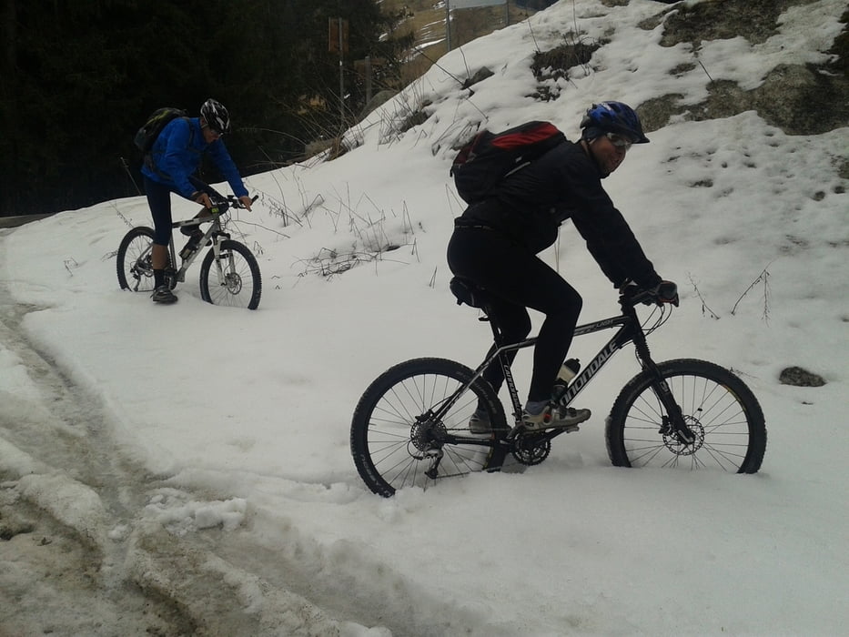
- Befahrbar ab Anfang April.(Abfahrt ab anfang Mai auch auf Trail möglich)
- Anfahrt durch versteckte Gassen der Altstadt von Meran, dann weiter auf Passer-Radweg.
- Auf der Rückfahrt führt der Track kurz vor dem Startpunkt an den Thermen von Meran und direkt am Meraner Pferderennplatz vorbei und bietet einen schönen Einblick in die Anlage.
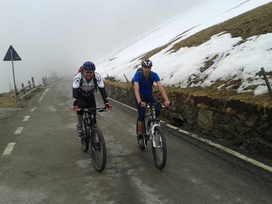
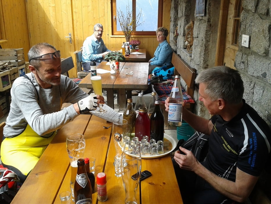
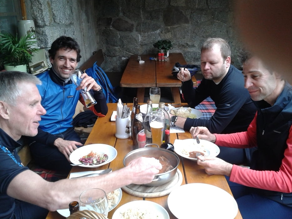
- Kurz vor Erreichen des höchsten Punktes empfiehlt sich die Einkehr beim Gasthof Sterneck-Gustl. (Bitte nicht zuviele von seinen vorzüglichen Schnäpsen verkosten)
- Abfahrt über Verdins, Schenna nach Meran.
Start: Meran/Marling: Beim öffentlichen Parkplatz an der Marlinger Brücke neben Hotel Marlingerhof.
Galeria trasy
Mapa trasy i profil wysokości
Minimum height 283 m
Maximum height 1424 m
More about the tour author
|
|
MargesinFriedrich |
Komentarze

GPS tracks
Trackpoints-
GPX / Garmin Map Source (gpx) download
-
TCX / Garmin Training Center® (tcx) download
-
CRS / Garmin Training Center® (crs) download
-
Google Earth (kml) download
-
G7ToWin (g7t) download
-
TTQV (trk) download
-
Overlay (ovl) download
-
Fugawi (txt) download
-
Kompass (DAV) Track (tk) download
-
Karta trasy (pdf) download
-
Original file of the author (gpx) download
More about the tour author
|
|
MargesinFriedrich |
Add to my favorites
Remove from my favorites
Edit tags
Open track
My score
Rate