
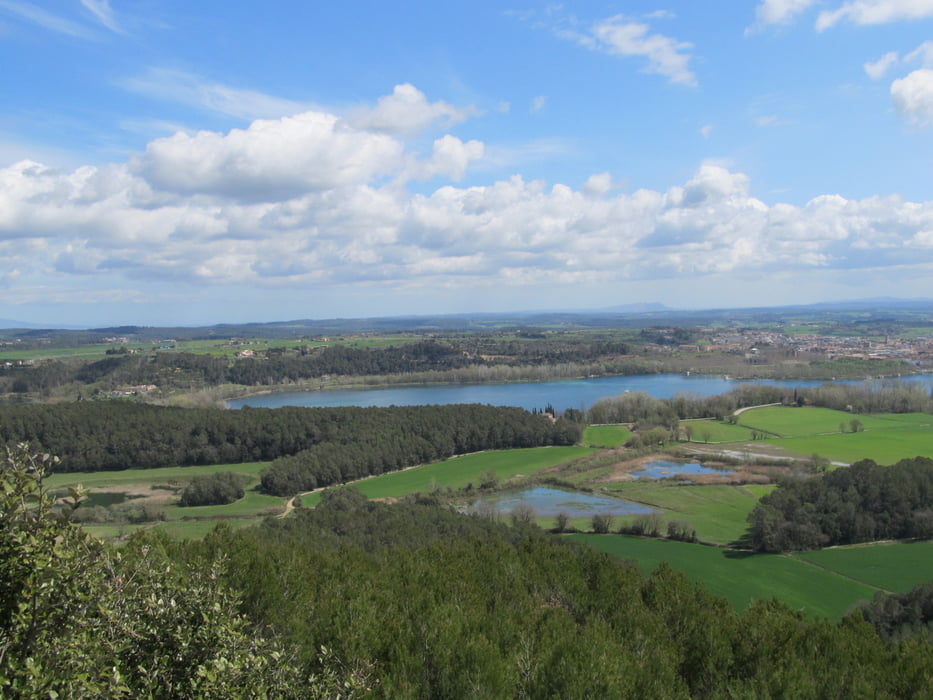

Die Tour beginnt am See von Banyoles und führt zunächst Richtung Porqueres und von dort quer durch den Wald hinauf zum Puig Clara Der Weg hinab geht über Camos und führt ein Stück eine Autostrasse entlang. Diese Variante des Weges ist nicht ausgeschildert, eine andere Möglichkeit ist in der Tour #91247 beschrieben.
Further information at
http://sumaro.wordpress.com/2013/03/31/wanderung-puig-clara/Mapa trasy i profil wysokości
Minimum height 179 m
Maximum height 329 m
More about the tour author

|
MarinJ |
Komentarze

Banyoles liegt etwa 15 km von Giroan entfernt in der Comarca Pla de l'Estany und ist mit dem Auto und öffentlichen Verkehrsmitteln gut zu erreichen. Parkplätze ausreichend am See
GPS tracks
Trackpoints-
GPX / Garmin Map Source (gpx) download
-
TCX / Garmin Training Center® (tcx) download
-
CRS / Garmin Training Center® (crs) download
-
Google Earth (kml) download
-
G7ToWin (g7t) download
-
TTQV (trk) download
-
Overlay (ovl) download
-
Fugawi (txt) download
-
Kompass (DAV) Track (tk) download
-
Karta trasy (pdf) download
-
Original file of the author (gpx) download
More about the tour author
|
|
MarinJ |
Add to my favorites
Remove from my favorites
Edit tags
Open track
My score
Rate