


Kleine Feierabendrunde bei Lobberich.
Ich begann den Weg direkt beim Hotel am Rieth in Nettetal.
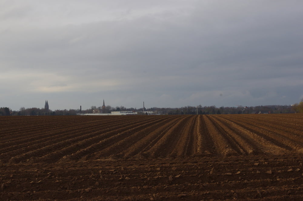
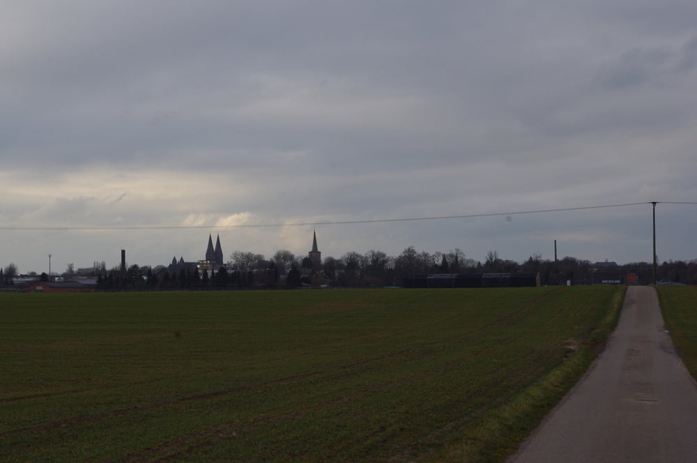
ZU Beginn bewegte ich mich durch den Ort durch das Einkaufszentrum und eine kleine Parkanlage hindurch. Es folgte ein etwas tröger Abschnitt am Gewerbegebiet vorbei bis ich das freie Feld erreichte. Hier verfolgte ich ein Asphaltsträßchen nach Süden.
Eine Rechts-Links-Rechts-Links Kombination brachte michan die Dyck Straße.
Auf dem Radweg überquerte ich die Autobahnanschlussstelle um dann in die Straße "Am Schänzchen" einzubiegen.
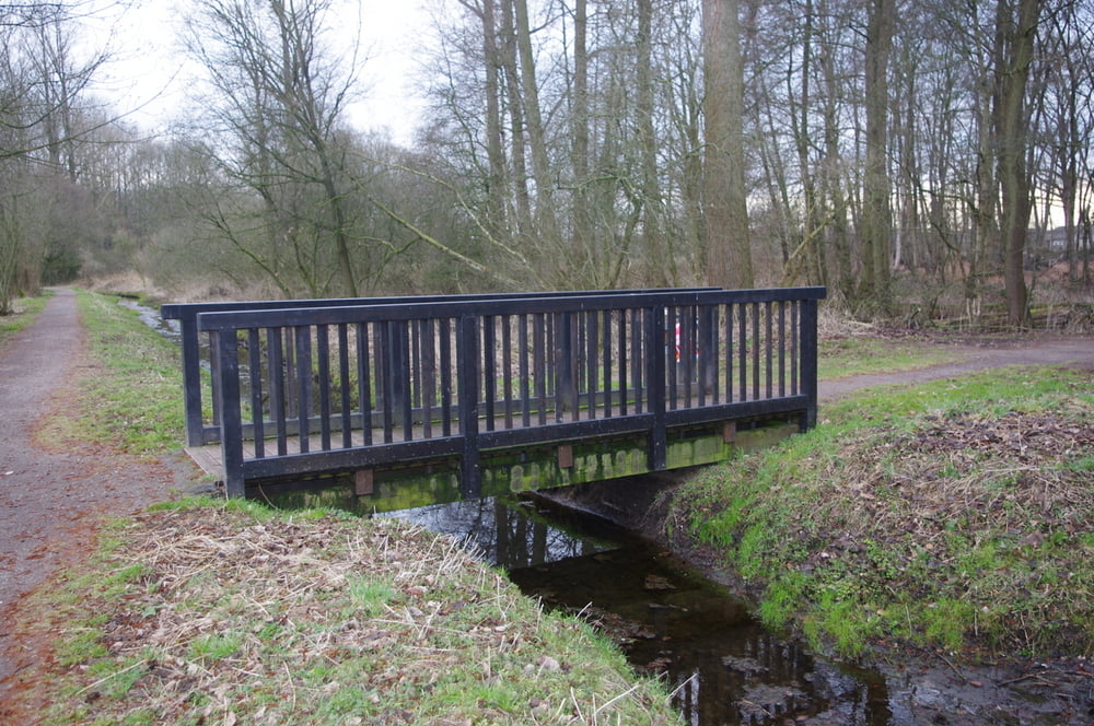
Gleich hinter der Brücke begann dann der schöne Weg am Wasser entlang der mich wieder unter der Autobahn hindurchführte.
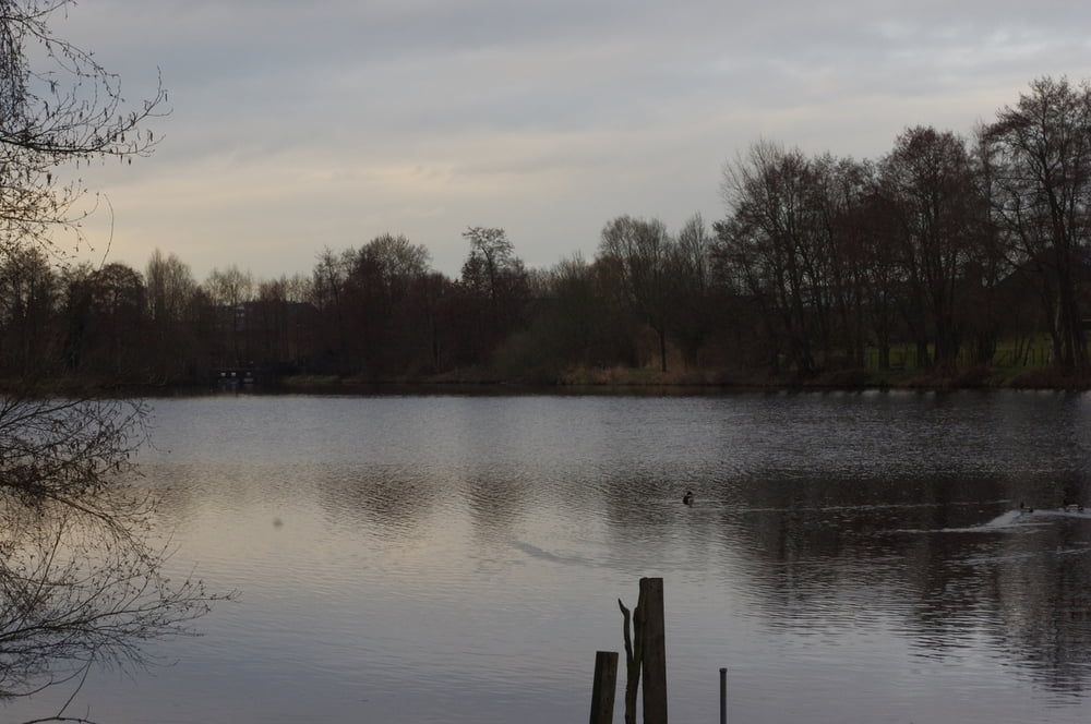
Der weiter Rückweg führte durch die Au an den Seen der Nette entlang zum Hotel zurück.
Further information at
https://de.wikipedia.org/wiki/NettetalGaleria trasy
Mapa trasy i profil wysokości
Minimum height 33 m
Maximum height 50 m
More about the tour author
|
|
Pheinz |
Komentarze

Start am Hotel Haus am Rieth.
GPS tracks
Trackpoints-
GPX / Garmin Map Source (gpx) download
-
TCX / Garmin Training Center® (tcx) download
-
CRS / Garmin Training Center® (crs) download
-
Google Earth (kml) download
-
G7ToWin (g7t) download
-
TTQV (trk) download
-
Overlay (ovl) download
-
Fugawi (txt) download
-
Kompass (DAV) Track (tk) download
-
Karta trasy (pdf) download
-
Original file of the author (gpx) download
More about the tour author
|
|
Pheinz |
Add to my favorites
Remove from my favorites
Edit tags
Open track
My score
Rate