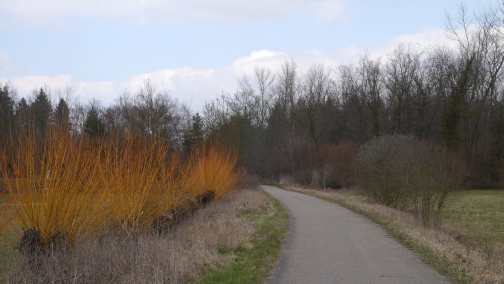
Die Tour führt auf den ausgeschilderten Storchenwegen in einem kleinen Waldstück zwischen Floßbach und Queich. Die Strecke enthält keine Steigungen, ist deshalb für Jung und Alt sehr gut geeignet. Innerhalb des Waldes befindet sich ein sehr schöner Vogellehrpfad auf dem die heimischen Vögel und auch andere Tiere anhand von Schautafeln sehr schön illustriert sind.
Galeria trasy
Mapa trasy i profil wysokości
Minimum height 97 m
Maximum height 137 m
Komentarze

Startpunkt der Tour ist der Parkplatz bei der Fuchsmühle.
GPS tracks
Trackpoints-
GPX / Garmin Map Source (gpx) download
-
TCX / Garmin Training Center® (tcx) download
-
CRS / Garmin Training Center® (crs) download
-
Google Earth (kml) download
-
G7ToWin (g7t) download
-
TTQV (trk) download
-
Overlay (ovl) download
-
Fugawi (txt) download
-
Kompass (DAV) Track (tk) download
-
Karta trasy (pdf) download
-
Original file of the author (gpx) download
Add to my favorites
Remove from my favorites
Edit tags
Open track
My score
Rate


