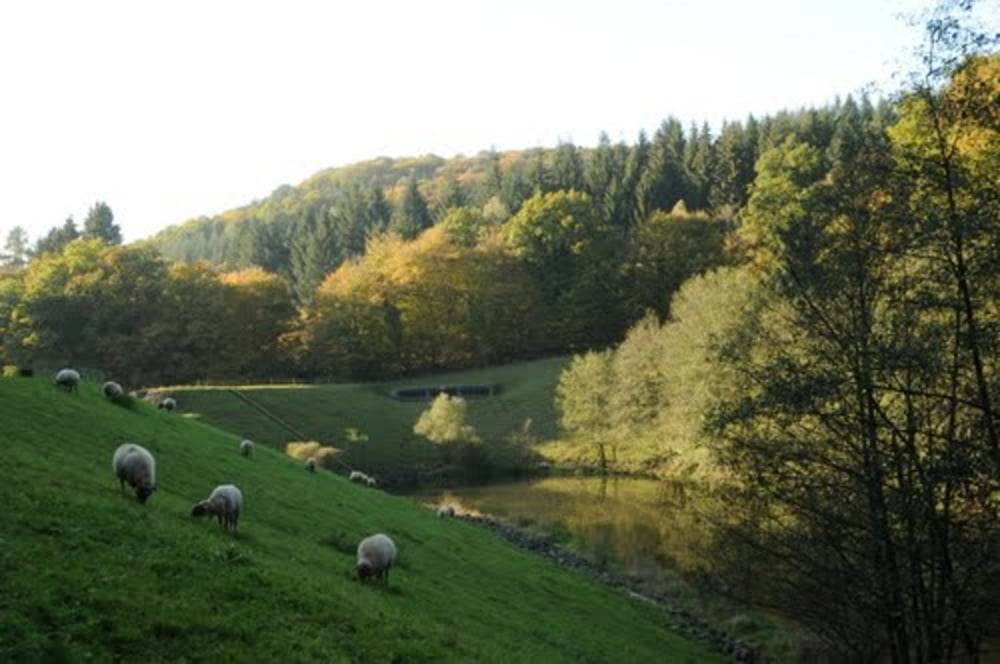
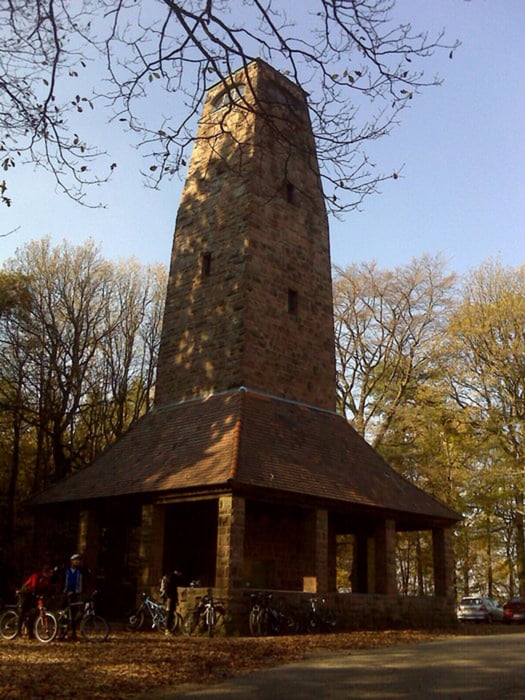
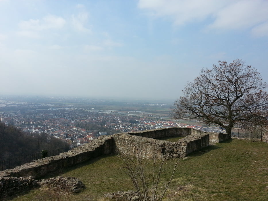
Los geht's in Schriesheim. Aufstieg entlang der Talstraße (aber auf Waldwegen) am Rückhaltebecken vorbei bis nach Wilhelmsfeld. Von hier aus geht es rüber zum Weißen Stein (Dossenheim). Anschließend folgt der Einstieg in den Singletrail, der an der Schauenburg vorbeiführt und direkt an der Strahlenburg in Schriesheim endet.
Galeria trasy
Mapa trasy i profil wysokości
Minimum height 115 m
Maximum height 564 m
Komentarze

GPS tracks
Trackpoints-
GPX / Garmin Map Source (gpx) download
-
TCX / Garmin Training Center® (tcx) download
-
CRS / Garmin Training Center® (crs) download
-
Google Earth (kml) download
-
G7ToWin (g7t) download
-
TTQV (trk) download
-
Overlay (ovl) download
-
Fugawi (txt) download
-
Kompass (DAV) Track (tk) download
-
Karta trasy (pdf) download
-
Original file of the author (gpx) download
Add to my favorites
Remove from my favorites
Edit tags
Open track
My score
Rate


