


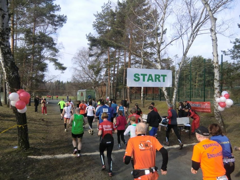
Gestartet wird der Marathonlauf auf dem Sportgelände des SC Brandenburg an der Harbigstr.
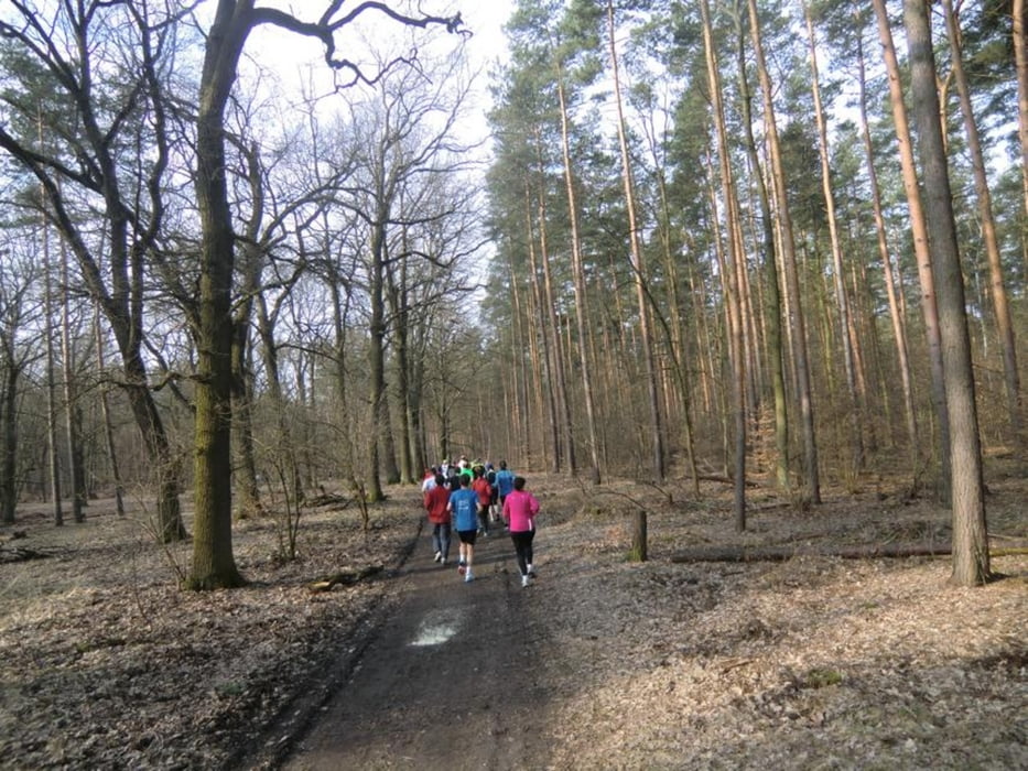
Nach etwa 2,5 km kommst Du am Teufelssee vorbei, weitere Punkte sind der Friedhof Grunewald-Forst und nach ca. 6 km der Pechsee.
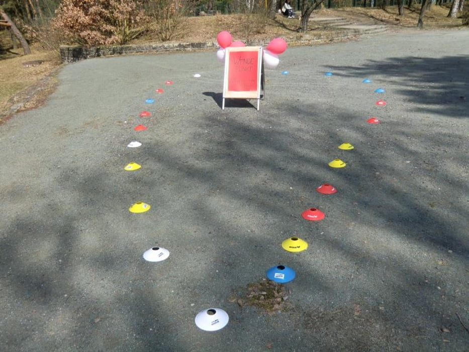
Bei Kilometer 21 (kurz vor dem Ziel) wird ein Wendepunkt umrundet und Du begibst Dich auf eine 2. Runde durch den Grunewald.
Bestes Wetter (Sonnenschein), freundliches Bedienpersonal an den Verpflegungsstationen und schöne Waldwege verleihen der sportlichen Veranstaltung ein gutes Gelingen.
Für den nächsten Grunewald-Marathon in 2014 sollte mann/frau sich rechtzeitig anmelden, denn in 2013 war das Teilnehmerlimit auf 200 Läufer/innen begrenzt.
Eine gute Routenkarte des Grunewald-Marathon ist hier zur bekommen:
http://www.runningfreeonline.com/Map/Create/Course/17339
Further information at
http://www.scb-berlin.de/bin/content.php?area=info&doc=../ausschreibungen/1stSCBGrunewaldMarathon.html&title=SCB%20&label=AusschreibungGaleria trasy

Mapa trasy i profil wysokości
Minimum height 42 m
Maximum height 72 m
More about the tour author
|
|
DerLäufer |
Komentarze

Von Hildesheim aus auf die B 6 in Richtung Goslar bis Baddeckenstedt. Dann Auffahrt auf A 39 in Richtung Braunschweig. Hinter BS auf die A 2 in Richtung Berlin. Vorbei an Helmstedt, Magdeburg, dann am Berliner Ring die A 10 in Richtung Frankfurt/Oder.
Bis zur Abfahrt auf die A 115 und weiter auf der Avus bis zur Abfahrt /Stadtteil Charlottenburg/Wilmersdorf, nun Messedamm, Jeffestraße und Harbigstr. fahren.
Kurz danach ist das Ziel Julius-Hirsch-Sportanlage erreicht.
GPS tracks
Trackpoints-
GPX / Garmin Map Source (gpx) download
-
TCX / Garmin Training Center® (tcx) download
-
CRS / Garmin Training Center® (crs) download
-
Google Earth (kml) download
-
G7ToWin (g7t) download
-
TTQV (trk) download
-
Overlay (ovl) download
-
Fugawi (txt) download
-
Kompass (DAV) Track (tk) download
-
Karta trasy (pdf) download
-
Original file of the author (gpx) download
More about the tour author
|
|
DerLäufer |
Add to my favorites
Remove from my favorites
Edit tags
Open track
My score
Rate