


Vom Parkplatz im Dorf aufwärts, nach Rechtskurve bald links ab ("Melmberg") mit Rot-Weiß/ diagonal. Über die Höhe nach Kalteneggolsfeld. Rechts durch den Ort, nach Ortsende an Felsen links weiter und lange durch Wald, fast eben dahin. An Felsen oberhalb Burggrub vorbei in einem großen Rechtsbogen bis Querweg. Mit Blaustrich rechts ab. Wir queren eine Straße geradeaus, bald rechts ab mit Rotpunkt. An Teerweg links lange weiter. An Waldende rechts ab mit Blaupfeil, abwärts und kräftig bergan bis Straße oberhalb Dürrbrunn. Wir queren die Straße und gehen nach Dürrbrunn auf der Straße hinunter.
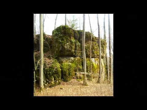
Galeria trasy


Mapa trasy i profil wysokości
Minimum height 419 m
Maximum height 585 m
More about the tour author
|
|
heinz-57 |
Komentarze

Auf der B470 von Ebermannstadt kommend in Gasseldorf links ab ins Leinleitertal. In Unterleinleiter links nach Dürrbrunn: 3km. Am Ortseingang Wanderparkplatz
GPS tracks
Trackpoints-
GPX / Garmin Map Source (gpx) download
-
TCX / Garmin Training Center® (tcx) download
-
CRS / Garmin Training Center® (crs) download
-
Google Earth (kml) download
-
G7ToWin (g7t) download
-
TTQV (trk) download
-
Overlay (ovl) download
-
Fugawi (txt) download
-
Kompass (DAV) Track (tk) download
-
Karta trasy (pdf) download
-
Original file of the author (gpx) download
More about the tour author
|
|
heinz-57 |
Add to my favorites
Remove from my favorites
Edit tags
Open track
My score
Rate