


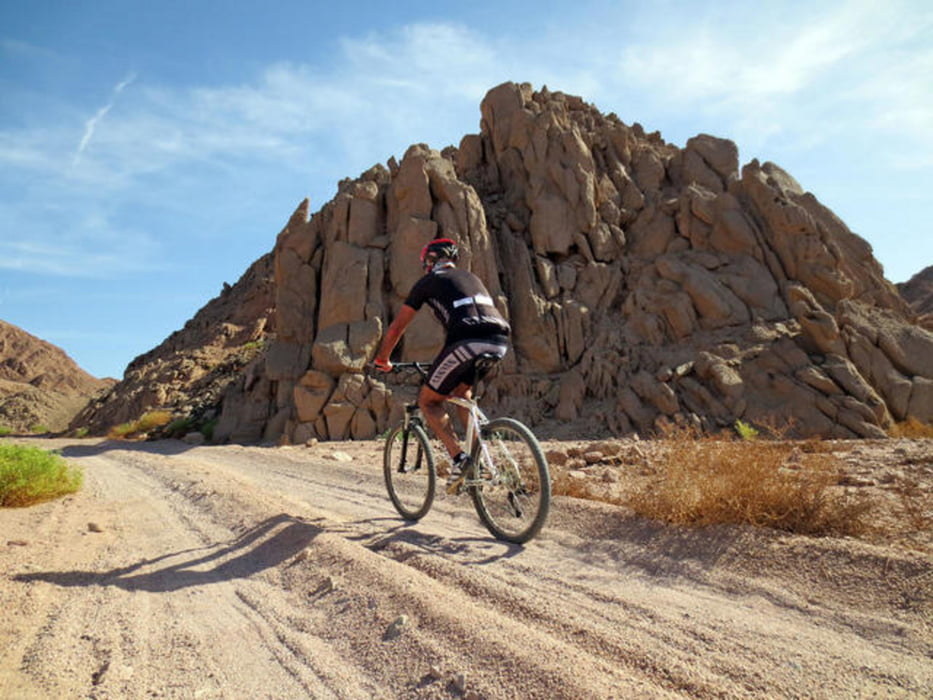
Wir sind im März, nach Ägypten geflogen. Ich hatte vorher mit Claus (von Black-Jack Bike)kontakt auf genommen und eine Individual Tour gebucht. Ich wurde in Sharm el Sheikh vor den Hotel Ghazzala Gardens abgeholt und mit einem Pkw in die Wüste gebracht. Dort habe ich dann Claus getroffen der mir einige Tourvorschläge gemacht hat, wo ich mich dann für eine Tour entschieden habe. Tolles Panorama und super Landschaft. Die Tour hat zwar nicht viele Höhenmeter ist aber durch den losen Sand anstrengend.
Die Fahrräder sind in einem guten Zustand.
Weitere Informationen unter:
http://blackjackbike.com/Ger/Contact.htm
Further information at
http://www.blackjackbike.com/Ger/home.htmGaleria trasy

Mapa trasy i profil wysokości
Minimum height -3 m
Maximum height 262 m
More about the tour author
|
|
harald2 |
Komentarze

GPS tracks
Trackpoints-
GPX / Garmin Map Source (gpx) download
-
TCX / Garmin Training Center® (tcx) download
-
CRS / Garmin Training Center® (crs) download
-
Google Earth (kml) download
-
G7ToWin (g7t) download
-
TTQV (trk) download
-
Overlay (ovl) download
-
Fugawi (txt) download
-
Kompass (DAV) Track (tk) download
-
Karta trasy (pdf) download
-
Original file of the author (gpx) download
More about the tour author
|
|
harald2 |
Add to my favorites
Remove from my favorites
Edit tags
Open track
My score
Rate