


Abendrunde vom Landgastehof Linden in Furth aus.
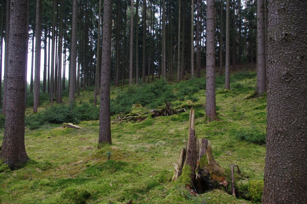
In Mäandern durch den Frühlingswald geht es los. Bergauf und ab wandere ich grob nach Südost durch den Wald. Als ich die Autobahn langsam zu hören bekomme biege ich auf einem schmalen Pfad nach rechts ab und steige in das Tal ab.
Wer sich ruhig verhält kann hier sicher Rehe beobachten.
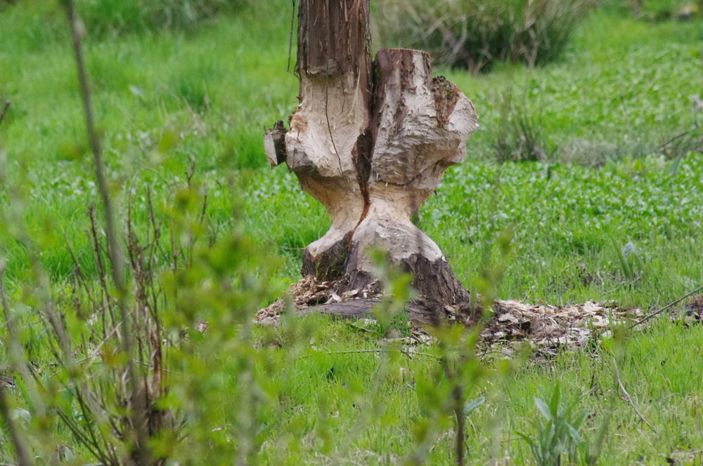
An dem kleinen Bach entlang wieder nach Nordwest. Die ansässigen Biber sind nicht zu übersehen. Jedenfalls nicht ihre Taten. Ich hatte leider nicht genug Zeit um auf die Nager zu warten.
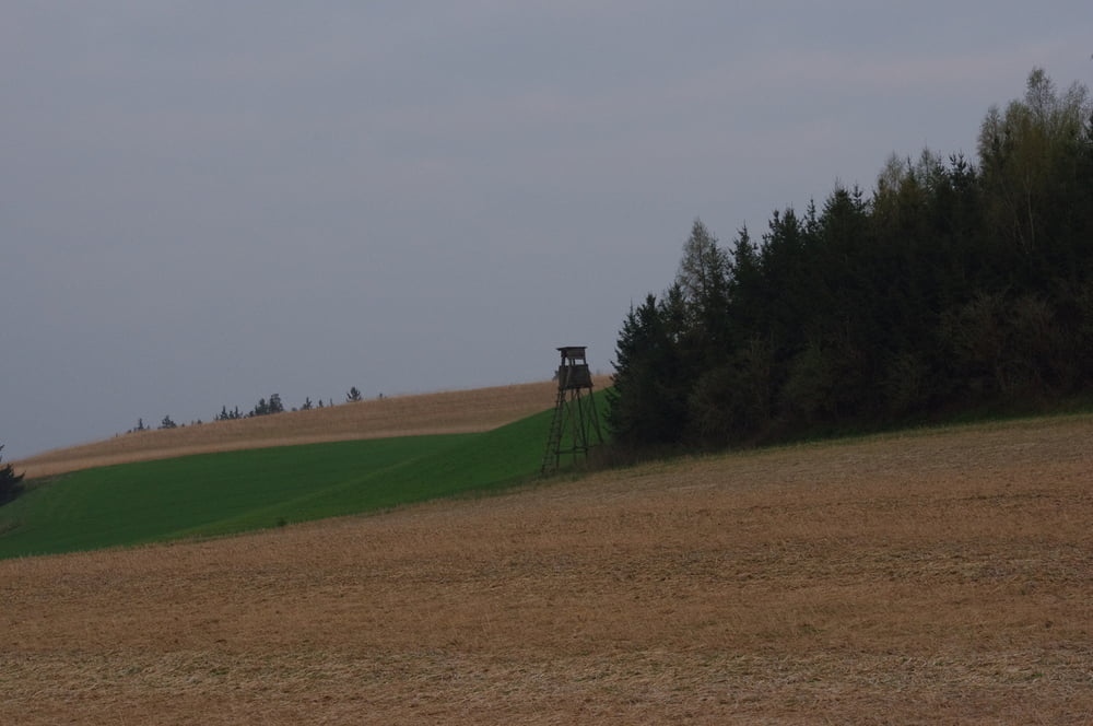
Der Weg steigt in einer Rechtskurve an und auf der Höhe bog ich nach links ab um aus dem Wald zu kommen. Das Abendlich konnte ich auf dem Rückweg in das Hotel geniessen.
Further information at
http://www.furth-bei-landshut.de/49-0-Die-Gemeinde-Furth.htmlGaleria trasy
Mapa trasy i profil wysokości
Minimum height 407 m
Maximum height 486 m
More about the tour author
|
|
Pheinz |
Komentarze

GPS tracks
Trackpoints-
GPX / Garmin Map Source (gpx) download
-
TCX / Garmin Training Center® (tcx) download
-
CRS / Garmin Training Center® (crs) download
-
Google Earth (kml) download
-
G7ToWin (g7t) download
-
TTQV (trk) download
-
Overlay (ovl) download
-
Fugawi (txt) download
-
Kompass (DAV) Track (tk) download
-
Karta trasy (pdf) download
-
Original file of the author (gpx) download
More about the tour author
|
|
Pheinz |
Add to my favorites
Remove from my favorites
Edit tags
Open track
My score
Rate