Runde in und um Demmin herum.
Ich startete direkt an meiner Unterkunft der Demminer Mühle.
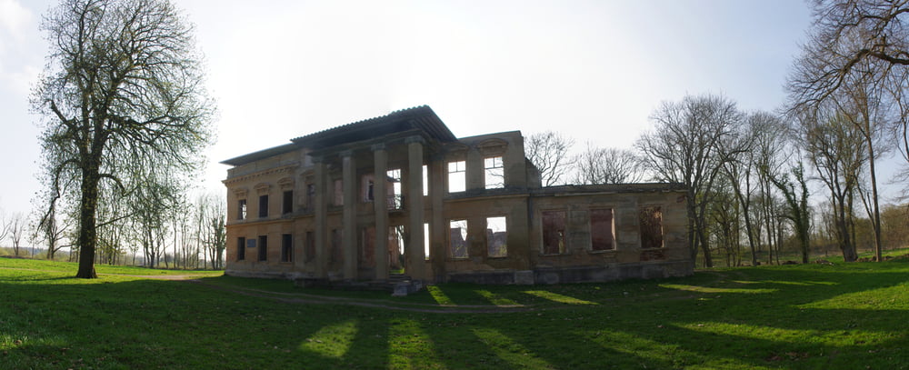
Der Weg führte mich zuerst in Richtung Stadtmitte. An dem großen Verkehrsknoten steht eine Kanone von der aus ich mich südlich hielt. An der Solaranlage folgte ich der ehemaligen Bahnstrecke. Hier kann es auch mal supfig werden. Das Ziel war jedenfalls das ehemalige Gutshaus und die Burgruine.
Auf meinem weiteren Weg boten sich immer wieder Ansichten auf die beeindruckende Stadtkirche in Demmin.
Further information at
http://www.demmin.de/Galeria trasy
Mapa trasy i profil wysokości
Minimum height -6 m
Maximum height 13 m
Komentarze

Start direkt an der Demminer Mühle.
GPS tracks
Trackpoints-
GPX / Garmin Map Source (gpx) download
-
TCX / Garmin Training Center® (tcx) download
-
CRS / Garmin Training Center® (crs) download
-
Google Earth (kml) download
-
G7ToWin (g7t) download
-
TTQV (trk) download
-
Overlay (ovl) download
-
Fugawi (txt) download
-
Kompass (DAV) Track (tk) download
-
Karta trasy (pdf) download
-
Original file of the author (gpx) download
Add to my favorites
Remove from my favorites
Edit tags
Open track
My score
Rate

