Login

Zapomniałeś swój login?

Cookies have to be accepted!
Your browser's cookie functionality is disabled. Please enable this functionality.

Not a member yet?

Register now
Login

Available for registred users only

Log in to use this feature.

Zapomniałeś swój login?

Cookies have to be accepted!
Your browser's cookie functionality is disabled. Please enable this functionality.

Not a member yet?

Register now
Filter
Kategorie
Advanced filters
  • Długość (km)
  • Wysokość
Zapisz filtr Reset filter

TrackRank

QRCode

Technical data

Długość49,7 km Wysokość1304 m Way down1310 m Czas trwania05:15 h:m Data06.05.2013
Oceny Author User Krajobraz Czynnik zadowolenia Kondycja Technika

Statystyka

447 Widoki 1 Ocena 117 Downloads / Pliki do pobrania 5.00 Przeciętnie
Rate
  • Karta trasy
  • Dojazd
  • Downloads / Pliki do pobrania

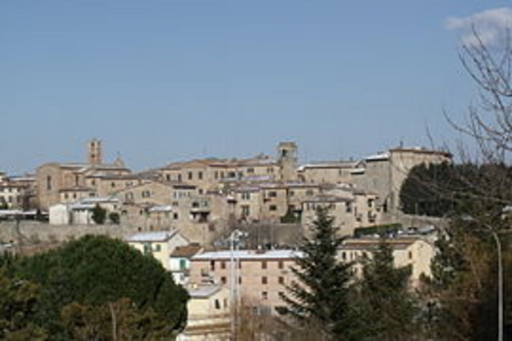
Vom Campingplatz La Montagnola fahren wir rechts erst die Strasse hoch und dann auf Singletrails durch die Macchia in einem Linksbogen nach Rosia. Ab hier rechtsherum über Waldwege und Singletrails wieder zurück nach Rosia. Dann eine kurzes Stück auf der Strasse, um dann links in einen Waldweg einzubiegen, der uns bis Sovicille bringt.


Mapa trasy i profil wysokości

  • Open Street Map
  • Google
Minimum height 197 m Maximum height 574 m Widok szczegółowy

More about the tour author

Fruehaufsteher
Member since 2008

Send private message

Komentarze

GPS tracks

Trackpoints
  • GPX / Garmin Map Source (gpx) download
  • TCX / Garmin Training Center® (tcx) download
  • CRS / Garmin Training Center® (crs) download
  • Google Earth (kml) download
  • G7ToWin (g7t) download
  • TTQV (trk) download
  • Overlay (ovl) download
  • Fugawi (txt) download
  • Kompass (DAV) Track (tk) download
  • Karta trasy (pdf) download
  • Original file of the author (gpx) download

More about the tour author

Fruehaufsteher
Member since 2008

Send private message
Share track
Add to my favorites
Remove from my favorites
Edit tags
My score
Rate
Trasa: Toskana - Sovicille - eine Acht
Rodzaj: Rower górski (MTB)
Długość: 49,7 km
Evaluated on:
Czas trwania:
Day(s)
Hour(s)
Minute(s)
Ocena: Krajobraz Czynnik zadowolenia Kondycja Technika