Login

Zapomniałeś swój login?

Cookies have to be accepted!
Your browser's cookie functionality is disabled. Please enable this functionality.

Not a member yet?

Register now
Login

Available for registred users only

Log in to use this feature.

Zapomniałeś swój login?

Cookies have to be accepted!
Your browser's cookie functionality is disabled. Please enable this functionality.

Not a member yet?

Register now
Filter
Kategorie
Advanced filters
  • Długość (km)
  • Wysokość
Zapisz filtr Reset filter

TrackRank

QRCode

Technical data

Długość38,7 km Wysokość1512 m Way down1516 m Czas trwania04:00 h:m Data11.05.2013
Oceny Author User Krajobraz Czynnik zadowolenia Kondycja Technika

Statystyka

854 Widoki 1 Ocena 78 Downloads / Pliki do pobrania 4.00 Przeciętnie
Rate
  • Karta trasy
  • Dojazd
  • Downloads / Pliki do pobrania

Beschaffenheit:    8 Km einrollen Radweg Meran-Töll

                               10 Km Teerstrasse Töll-Aschbach(2x100 Mt. steile Stücke)

                                 5  Km Forststrasse Aschbach-Vigiljoch(angenehme Steigung)

                                 Abfahrt: Forstweg/Teerstrasse

Rundkurs

Ohne Trail


Start:                        Meran/Marling, Marlinger Brücke, öffentlicher Parkplatz Piccolo Hotel

Gegen den Uhrzeigersinn
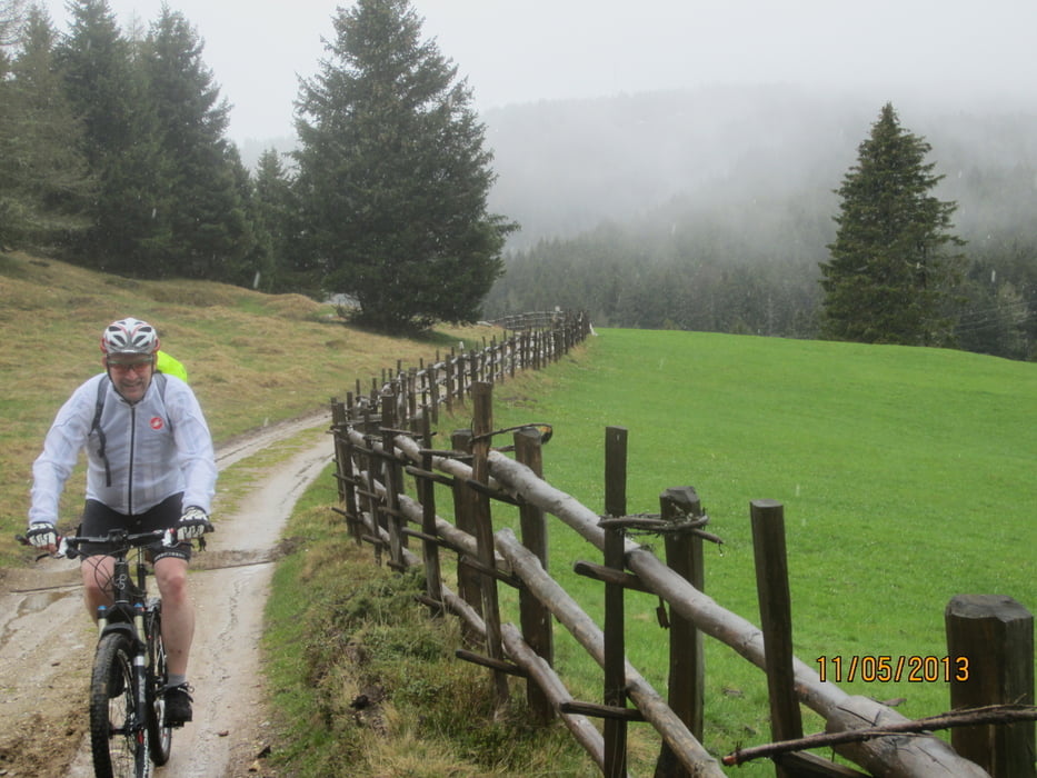
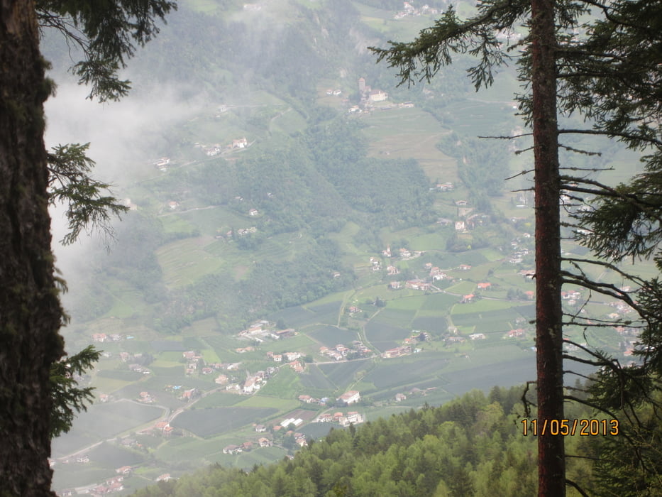
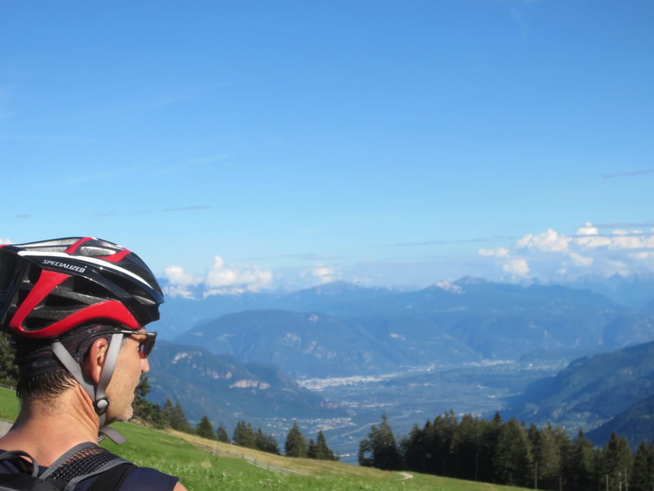
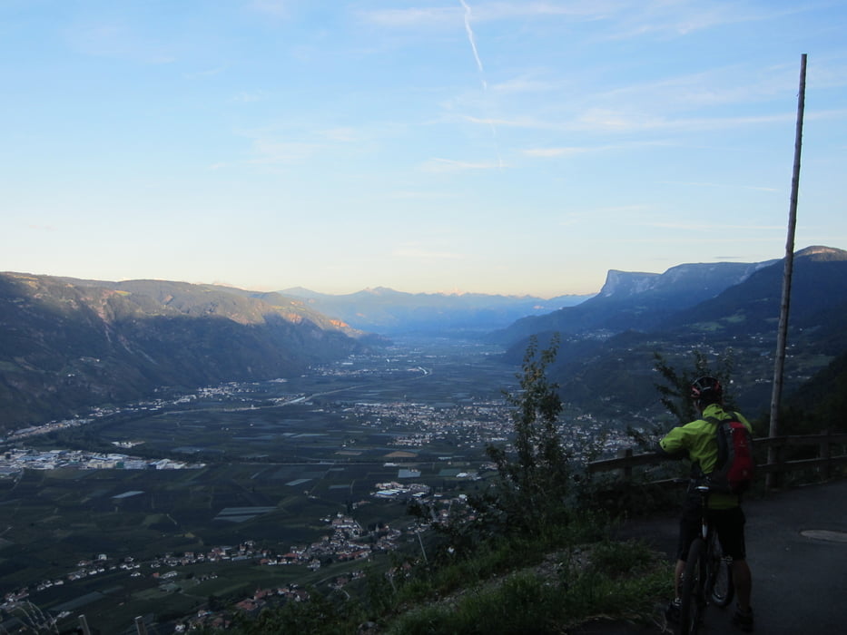
Galeria trasy

Mapa trasy i profil wysokości

  • Open Street Map
  • Google
Minimum height 289 m Maximum height 1797 m Widok szczegółowy

More about the tour author

MargesinFriedrich
Member since 2012

Send private message

Komentarze

Ass6000 on 11.05.2013

Duschen in der Natur...

Grüße aus Gröden!

hoffentlich isch´s Bärele sauber und trocken?

GPS tracks

Trackpoints
  • GPX / Garmin Map Source (gpx) download
  • TCX / Garmin Training Center® (tcx) download
  • CRS / Garmin Training Center® (crs) download
  • Google Earth (kml) download
  • G7ToWin (g7t) download
  • TTQV (trk) download
  • Overlay (ovl) download
  • Fugawi (txt) download
  • Kompass (DAV) Track (tk) download
  • Karta trasy (pdf) download
  • Original file of the author (gpx) download

More about the tour author

MargesinFriedrich
Member since 2012

Send private message
Share track
Add to my favorites
Remove from my favorites
Edit tags
My score
Rate
Trasa: Meran-Aschbach-Vigiljoch-Meran(Rundkurs-ohne Trail)
Rodzaj: Rower górski (MTB)
Długość: 38,7 km
Evaluated on:
Czas trwania:
Day(s)
Hour(s)
Minute(s)
Ocena: Krajobraz Czynnik zadowolenia Kondycja Technika