
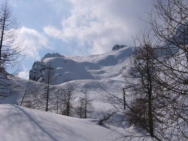

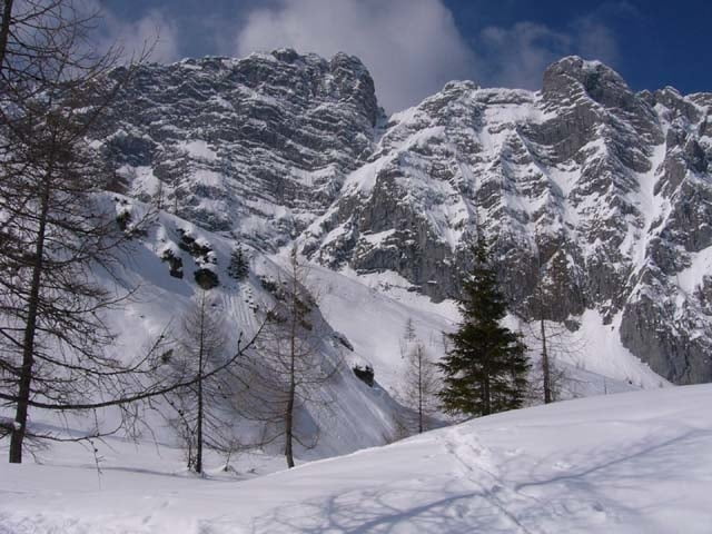
Schöne Tour mit Hindernissen. Bevor die schönen Hänge der Hochalm erreicht werden gibt's aber erst mal zwei Hindernisse. 1. Die Forststraße zur Eckaualm (ca.400hm) und danach der Waldgürtel (ca.300hm) welchen man eher links haltend überwindet. Meist ist gespurt, wenn nicht ist etwas Orientierungssinn erforderlich. Hat man die Hindernisse überwunden gibt's ca.700hm freie Hänge mit oft Herrlichen Pulver, im Frühjahr auch Firn. Bei dieser Tour wird kein Gipfel erreicht. Ziel ist eine Kuppe (Hochalm) welche der Blaueisspitze vorgelagert ist. Ausgangspunkt dieser Tour ist der Parkplatz in der Ramsau.
Further information at
http://www.sigisfunwelt.deGaleria trasy
Mapa trasy i profil wysokości
Minimum height 685 m
Maximum height 2029 m
More about the tour author

|
sigi mitteregger |
Komentarze

GPS tracks
Trackpoints-
GPX / Garmin Map Source (gpx) download
-
TCX / Garmin Training Center® (tcx) download
-
CRS / Garmin Training Center® (crs) download
-
Google Earth (kml) download
-
G7ToWin (g7t) download
-
TTQV (trk) download
-
Overlay (ovl) download
-
Fugawi (txt) download
-
Kompass (DAV) Track (tk) download
-
Karta trasy (pdf) download
-
Original file of the author (g7t) download
More about the tour author
|
|
sigi mitteregger |
Add to my favorites
Remove from my favorites
Edit tags
Open track
My score
Rate