Login

Zapomniałeś swój login?

Cookies have to be accepted!
Your browser's cookie functionality is disabled. Please enable this functionality.

Not a member yet?

Register now
Login

Available for registred users only

Log in to use this feature.

Zapomniałeś swój login?

Cookies have to be accepted!
Your browser's cookie functionality is disabled. Please enable this functionality.

Not a member yet?

Register now
Filter
Kategorie
Advanced filters
  • Długość (km)
  • Wysokość
Zapisz filtr Reset filter

TrackRank

QRCode

Technical data

Długość28,3 km Wysokość647 m Way down594 m Czas trwania02:30 h:m Data13.05.2013
Oceny Author User Krajobraz Czynnik zadowolenia Kondycja Technika

Statystyka

532 Widoki 1 Ocena 53 Downloads / Pliki do pobrania 4.00 Przeciętnie
Rate
  • Karta trasy
  • Dojazd
  • Downloads / Pliki do pobrania

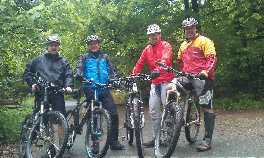
Nach langer Pause gibt es mal wieder eine Runde!

Nach einer verregneten Nacht war es mal wieder schön Matschig und Lustig.

Nur da nach das Rad putzen war nicht lustig.

Viel Spaß beim nachfahren!


Galeria trasy

Mapa trasy i profil wysokości

  • Open Street Map
  • Google
Minimum height 104 m Maximum height 278 m Widok szczegółowy

More about the tour author

MarcusVergin
Member since 2009

Send private message

Komentarze

GPS tracks

Trackpoints
  • GPX / Garmin Map Source (gpx) download
  • TCX / Garmin Training Center® (tcx) download
  • CRS / Garmin Training Center® (crs) download
  • Google Earth (kml) download
  • G7ToWin (g7t) download
  • TTQV (trk) download
  • Overlay (ovl) download
  • Fugawi (txt) download
  • Kompass (DAV) Track (tk) download
  • Karta trasy (pdf) download
  • Original file of the author (gpx) download

More about the tour author

MarcusVergin
Member since 2009

Send private message
Share track
Add to my favorites
Remove from my favorites
Edit tags
My score
Rate
Trasa: Matschrunde durch Burgholz
Rodzaj: Rower górski (MTB)
Długość: 28,3 km
Evaluated on:
Czas trwania:
Day(s)
Hour(s)
Minute(s)
Ocena: Krajobraz Czynnik zadowolenia Kondycja Technika