


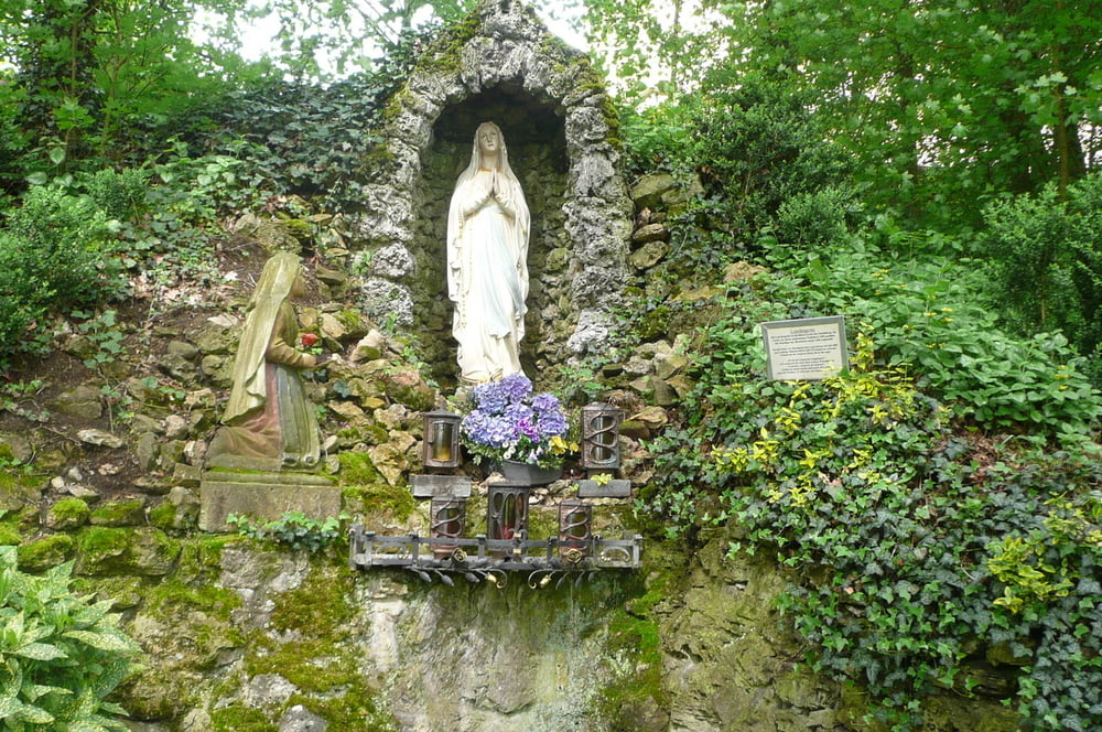
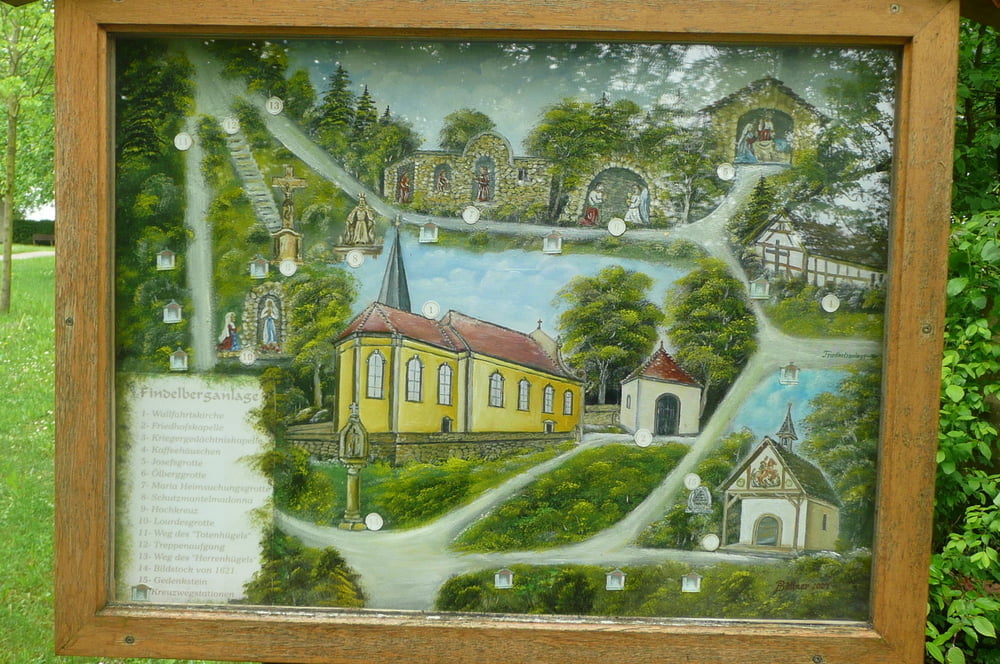
Startpunkt: Findelberg Kapelle - Saal a. d. Saale
Verlauf: Findelberg Saal a. d. Saale, Milz, Friedenseiche, Großeibstadt, Kleineibstadt Saal a. d. Saale
Diese Wanderung beginnt an der Findelberg Kapelle in Saal an der Saale. Wir überqueren den Fluss Milz und die Straße nach Waltershausen. Diesen Flurweg laufen wir weiter Richtung Fuchsloch und biegen dann rechts ab und laufen Richtung Friedenseiche oberhalb von Großeibstadt.
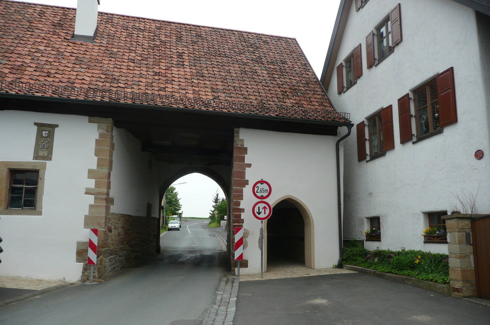
Nun laufen wir den Flurweg hinunter nach Großeibstadt. Hier gibt es einen Biergarten der zu einer Rast einlädt. Nach dem wir uns gestärkt haben, laufen wir auf dem HWO7 Wanderweg Rotes Dreieck nach Kleineibstadt.
Von hier ist es nicht mehr weit bis nach Saale a. d. Saale.
Further information at
http://www.wandernimsaaletal.deGaleria trasy
Mapa trasy i profil wysokości
Minimum height 246 m
Maximum height 341 m
More about the tour author
|
|
maffy |
Komentarze

Startpunkt: Findelberg Kapelle - Saal a. d. Saale
A71 Autobahnabfahrt 25 - Bad Neustadt - Richtung Wülfershausen fahren
Verlauf: Findelberg Saal a. d. Saale, Milz, Friedenseiche, Großeibstadt, Kleineibstadt Saal a. d. Saale
GPS tracks
Trackpoints-
GPX / Garmin Map Source (gpx) download
-
TCX / Garmin Training Center® (tcx) download
-
CRS / Garmin Training Center® (crs) download
-
Google Earth (kml) download
-
G7ToWin (g7t) download
-
TTQV (trk) download
-
Overlay (ovl) download
-
Fugawi (txt) download
-
Kompass (DAV) Track (tk) download
-
Karta trasy (pdf) download
-
Original file of the author (gpx) download
More about the tour author
|
|
maffy |
Add to my favorites
Remove from my favorites
Edit tags
Open track
My score
Rate