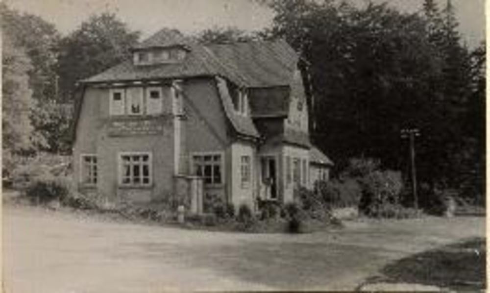
Von Bad Schwalbach Lidl zum Roten Kreuz Feldberg: Übernachtung DHJ Oberreifenberg
Da die Batterien meiner GPSmaus von Polar auf dieser Tour den Geistaufgaben habe ich die Streck über Runtastic nachgezeichnet. Aufzeichnung beginnt vom Roten Kreuz (gegengesetzte Richtung). Sorry Startpunkt ist der Endpunkt;-)
Galeria trasy
Mapa trasy i profil wysokości
Minimum height 285 m
Maximum height 699 m
Komentarze

GPS tracks
Trackpoints-
GPX / Garmin Map Source (gpx) download
-
TCX / Garmin Training Center® (tcx) download
-
CRS / Garmin Training Center® (crs) download
-
Google Earth (kml) download
-
G7ToWin (g7t) download
-
TTQV (trk) download
-
Overlay (ovl) download
-
Fugawi (txt) download
-
Kompass (DAV) Track (tk) download
-
Karta trasy (pdf) download
-
Original file of the author (gpx) download
Add to my favorites
Remove from my favorites
Edit tags
Open track
My score
Rate


