Login

Zapomniałeś swój login?

Cookies have to be accepted!
Your browser's cookie functionality is disabled. Please enable this functionality.

Not a member yet?

Register now
Login

Available for registred users only

Log in to use this feature.

Zapomniałeś swój login?

Cookies have to be accepted!
Your browser's cookie functionality is disabled. Please enable this functionality.

Not a member yet?

Register now
Filter
Kategorie
Advanced filters
  • Długość (km)
  • Wysokość
Zapisz filtr Reset filter

TrackRank

QRCode

Technical data

Długość31,5 km Wysokość1123 m Way down1129 m Czas trwania00:00 h:m Data31.05.2013
Oceny Author Krajobraz Czynnik zadowolenia Kondycja Technika

Statystyka

161 Widoki Oceny 6 Downloads / Pliki do pobrania Przeciętnie
Rate
  • Karta trasy
  • Dojazd
  • Downloads / Pliki do pobrania

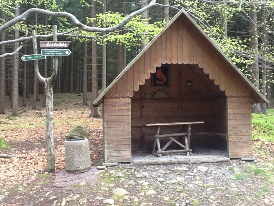
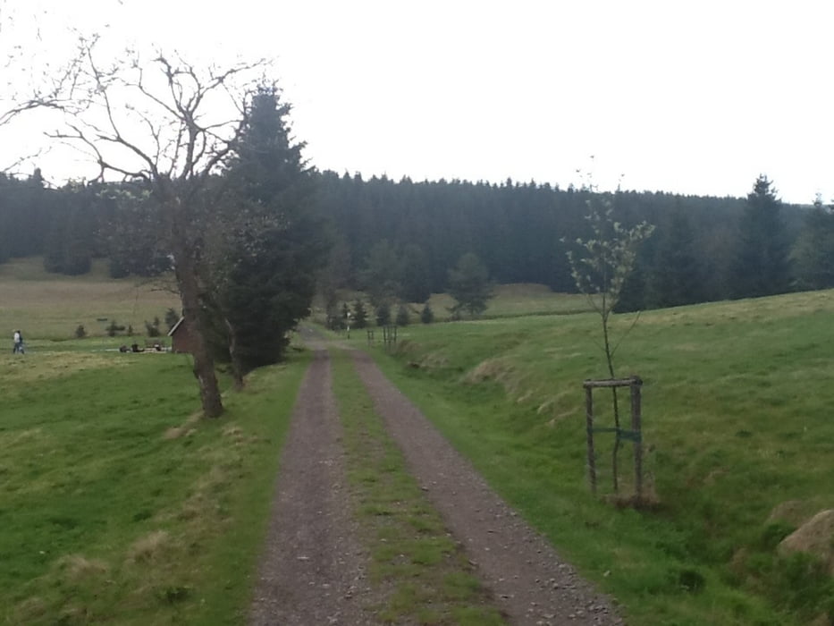
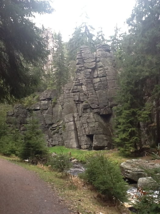
Aufstieg wie gehabt über Schützenhöhe und Kammweg bis auf die Ansprunger Höhe. Dann durch den Wald (am Wildgehege vorbei) und über Straße S217 -> Kühnhaider Flügel bis ins Schwarzwassertal. Dieses dann zurück bis Rittersberg und dann gemütlich über die Schienen wieder zurück nach Pockau.


Galeria trasy

Mapa trasy i profil wysokości

  • Open Street Map
  • Google
Minimum height 414 m Maximum height 842 m Widok szczegółowy

More about the tour author

matttrakker
Member since 2013

Send private message

Komentarze

GPS tracks

Trackpoints
  • GPX / Garmin Map Source (gpx) download
  • TCX / Garmin Training Center® (tcx) download
  • CRS / Garmin Training Center® (crs) download
  • Google Earth (kml) download
  • G7ToWin (g7t) download
  • TTQV (trk) download
  • Overlay (ovl) download
  • Fugawi (txt) download
  • Kompass (DAV) Track (tk) download
  • Karta trasy (pdf) download
  • Original file of the author (gpx) download

More about the tour author

matttrakker
Member since 2013

Send private message
Share track
Add to my favorites
Remove from my favorites
Edit tags
My score
Rate
Trasa: Himmelfahrt -> Schützenhöhe - Kammweg - Ansprung - Schwarzwassertal - Talstraße
Rodzaj: Wędrówki
Długość: 31,5 km
Evaluated on:
Czas trwania:
Day(s)
Hour(s)
Minute(s)
Ocena: Krajobraz Czynnik zadowolenia Kondycja Technika