Login

Zapomniałeś swój login?

Cookies have to be accepted!
Your browser's cookie functionality is disabled. Please enable this functionality.

Not a member yet?

Register now
Login

Available for registred users only

Log in to use this feature.

Zapomniałeś swój login?

Cookies have to be accepted!
Your browser's cookie functionality is disabled. Please enable this functionality.

Not a member yet?

Register now
Filter
Kategorie
Advanced filters
  • Długość (km)
  • Wysokość
Zapisz filtr Reset filter

TrackRank

QRCode

Technical data

Długość9,3 km Wysokość926 m Way down912 m Czas trwania03:51 h:m Data02.06.2013
Oceny Author Krajobraz Czynnik zadowolenia Kondycja Technika

Statystyka

313 Widoki Oceny 26 Downloads / Pliki do pobrania Przeciętnie
Rate
  • Karta trasy
  • Dojazd
  • Downloads / Pliki do pobrania
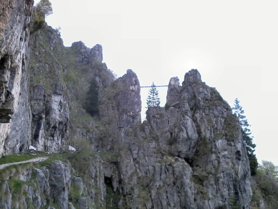
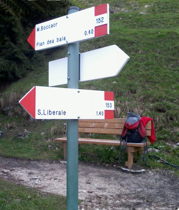
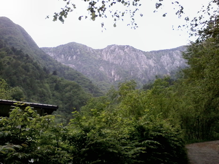
Una classica non proprio facile escursione sul massiccio del Grappa. Percorso ad anello, arrivo nel Pian dea Bala, nella prima parte del percorso, traversata del monte Boccaor e discesa fino al punto di partenza.

Further information at

http://www.magicoveneto.it/Grappa/ValleSanLiberale/San-Liberale-Boccaor-Meatte-Archeson.htm

Galeria trasy

Mapa trasy i profil wysokości

  • Open Street Map
  • Google
Minimum height 594 m Maximum height 1509 m Widok szczegółowy

More about the tour author

agosflavio
Member since 2013

Send private message

Komentarze

Dal centro di Paderno del Grappa si prosegue per loc. Fietta e dopo ci si inoltra per la valle di S. Liberale. La strada è ben percorribile.

GPS tracks

Trackpoints
  • GPX / Garmin Map Source (gpx) download
  • TCX / Garmin Training Center® (tcx) download
  • CRS / Garmin Training Center® (crs) download
  • Google Earth (kml) download
  • G7ToWin (g7t) download
  • TTQV (trk) download
  • Overlay (ovl) download
  • Fugawi (txt) download
  • Kompass (DAV) Track (tk) download
  • Karta trasy (pdf) download
  • Original file of the author (gpx) download

More about the tour author

agosflavio
Member since 2013

Send private message
Share track
Add to my favorites
Remove from my favorites
Edit tags
My score
Rate
Trasa: Valle di San Lberale Monte Boccaor
Rodzaj: Wędrówki
Długość: 9,3 km
Evaluated on:
Czas trwania:
Day(s)
Hour(s)
Minute(s)
Ocena: Krajobraz Czynnik zadowolenia Kondycja Technika