Login

Zapomniałeś swój login?

Cookies have to be accepted!
Your browser's cookie functionality is disabled. Please enable this functionality.

Not a member yet?

Register now
Login

Available for registred users only

Log in to use this feature.

Zapomniałeś swój login?

Cookies have to be accepted!
Your browser's cookie functionality is disabled. Please enable this functionality.

Not a member yet?

Register now
Filter
Kategorie
Advanced filters
  • Długość (km)
  • Wysokość
Zapisz filtr Reset filter

TrackRank

QRCode

Technical data

Długość18,7 km Wysokość59 m Way down25 m Czas trwania06:10 h:m Data08.06.2013
Oceny Author Krajobraz Czynnik zadowolenia Kondycja Technika

Statystyka

905 Widoki Oceny 39 Downloads / Pliki do pobrania Przeciętnie
Rate
  • Karta trasy
  • Dojazd
  • Downloads / Pliki do pobrania

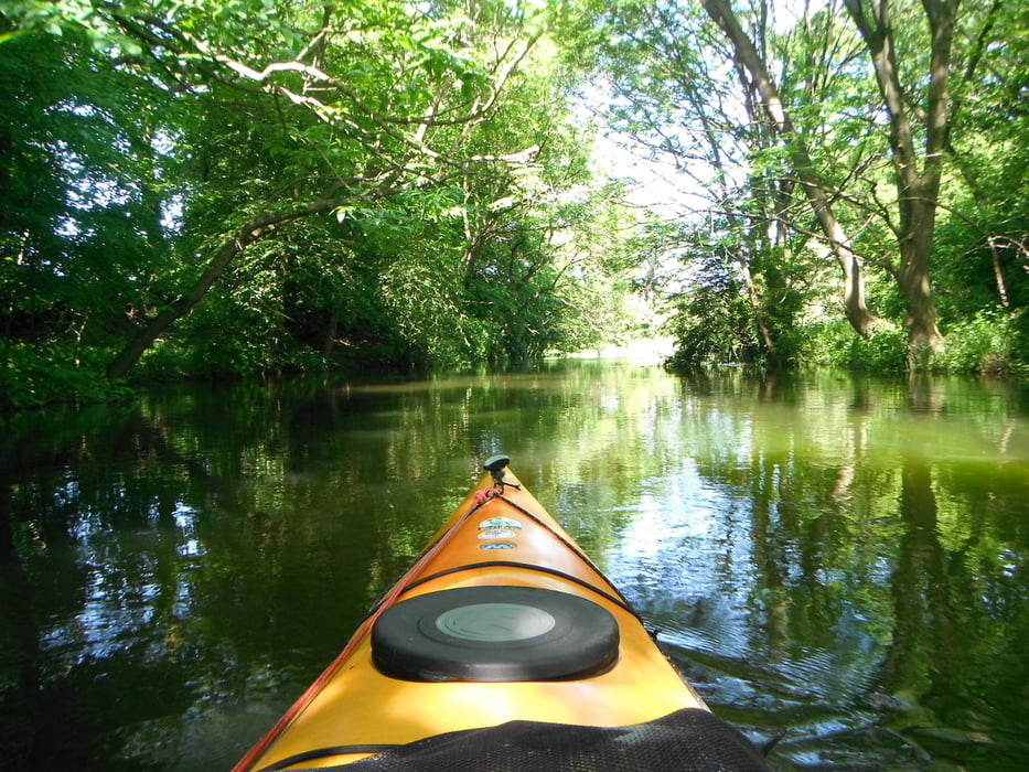
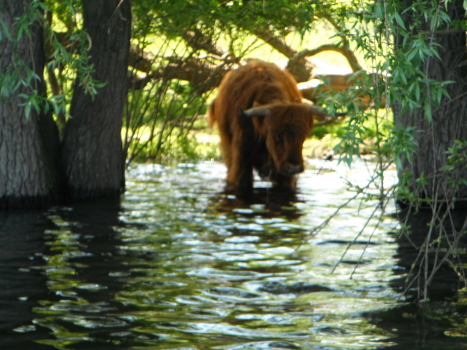
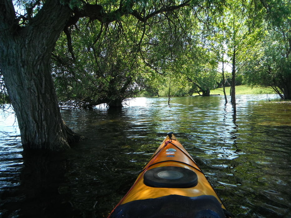
Nette kleine Schwentine Tour mit dem Kajak.Gepaddelt auf dem Kleiner Plöner See,Schwentine Fluss,Kronsee,Fuhlensee,Mühlensee und Rohrdommelbucht.Wasserstand war sehr hoch.Durchgeführt habe ich diese Tour am 7.6.13


Galeria trasy

Mapa trasy i profil wysokości

  • Open Street Map
  • Google
Minimum height -24 m Maximum height 17 m Widok szczegółowy

More about the tour author

paddel
Member since 2011

Send private message

Komentarze

GPS tracks

Trackpoints
  • GPX / Garmin Map Source (gpx) download
  • TCX / Garmin Training Center® (tcx) download
  • CRS / Garmin Training Center® (crs) download
  • Google Earth (kml) download
  • G7ToWin (g7t) download
  • TTQV (trk) download
  • Overlay (ovl) download
  • Fugawi (txt) download
  • Kompass (DAV) Track (tk) download
  • Karta trasy (pdf) download
  • Original file of the author (gpx) download

More about the tour author

paddel
Member since 2011

Send private message
Share track
Add to my favorites
Remove from my favorites
Edit tags
My score
Rate
Trasa: Schwentine
Rodzaj: Łodzi i kajaków
Długość: 18,7 km
Evaluated on:
Czas trwania:
Day(s)
Hour(s)
Minute(s)
Ocena: Krajobraz Czynnik zadowolenia Kondycja Technika