Login

Zapomniałeś swój login?

Cookies have to be accepted!
Your browser's cookie functionality is disabled. Please enable this functionality.

Not a member yet?

Register now
Login

Available for registred users only

Log in to use this feature.

Zapomniałeś swój login?

Cookies have to be accepted!
Your browser's cookie functionality is disabled. Please enable this functionality.

Not a member yet?

Register now
Filter
Kategorie
Advanced filters
  • Długość (km)
  • Wysokość
Zapisz filtr Reset filter

TrackRank

QRCode

Technical data

Długość16,0 km Wysokość4620 m Way down4308 m Czas trwania04:00 h:m Data09.06.2013
Oceny Author User Krajobraz Czynnik zadowolenia Kondycja Technika

Statystyka

1657 Widoki 1 Ocena 81 Downloads / Pliki do pobrania 2.00 Przeciętnie
Rate
  • Karta trasy
  • Dojazd
  • Downloads / Pliki do pobrania

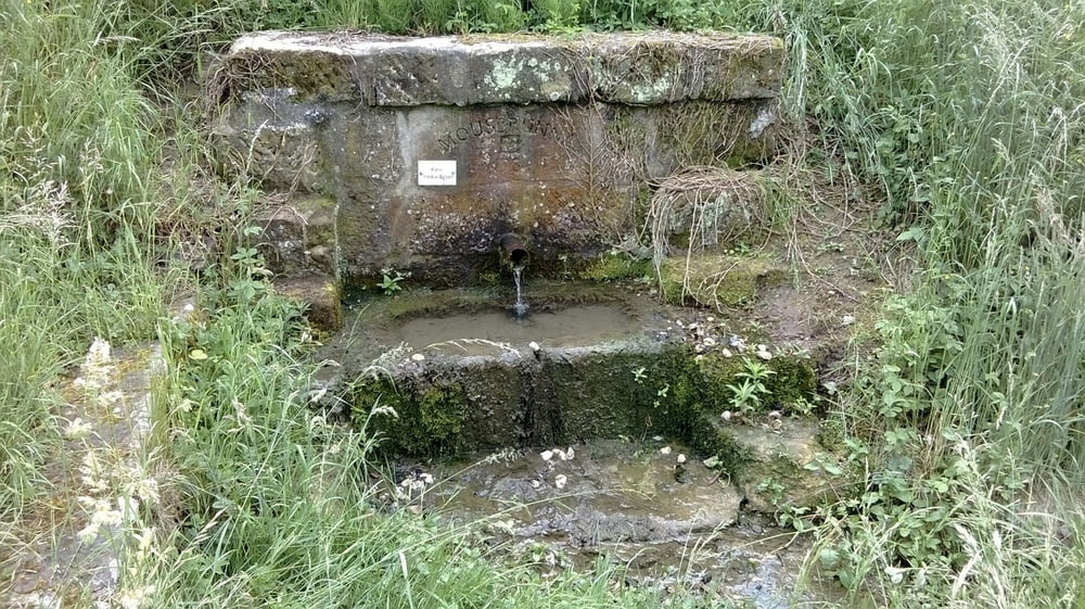
Heute zieht es uns mal wieder in den Itzgrund, da uns die letzte Tour zum Christenstein neugierig auf mehr gemacht hat. Startpunkt ist diesmal der Platz an der Linde in der oberen Dorfstraße in Schottenstein. Hier können bequem mehrere Fahrzeuge abgestellt werden....


Wer mehr lesen möchte, klickt auf untenstehenden Link


Further information at

http://wandern-im-coburger-land.de/schottensteinrunde.html

Mapa trasy i profil wysokości

  • Open Street Map
  • Google
Minimum height 34 m Maximum height 416 m Widok szczegółowy

More about the tour author

screwtapecoburg
Member since 2009

Send private message

Komentarze


Startpunkt ist diesmal der Platz an der Linde in der oberen Dorfstraße in Schottenstein.

GPS tracks

Trackpoints
  • GPX / Garmin Map Source (gpx) download
  • TCX / Garmin Training Center® (tcx) download
  • CRS / Garmin Training Center® (crs) download
  • Google Earth (kml) download
  • G7ToWin (g7t) download
  • TTQV (trk) download
  • Overlay (ovl) download
  • Fugawi (txt) download
  • Kompass (DAV) Track (tk) download
  • Karta trasy (pdf) download
  • Original file of the author (gpx) download

More about the tour author

screwtapecoburg
Member since 2009

Send private message
Share track
Add to my favorites
Remove from my favorites
Edit tags
My score
Rate
Trasa: Schottensteinrunde
Rodzaj: Wędrówki
Długość: 16,0 km
Evaluated on:
Czas trwania:
Day(s)
Hour(s)
Minute(s)
Ocena: Krajobraz Czynnik zadowolenia Kondycja Technika