Login

Zapomniałeś swój login?

Cookies have to be accepted!
Your browser's cookie functionality is disabled. Please enable this functionality.

Not a member yet?

Register now
Login

Available for registred users only

Log in to use this feature.

Zapomniałeś swój login?

Cookies have to be accepted!
Your browser's cookie functionality is disabled. Please enable this functionality.

Not a member yet?

Register now
Filter
Kategorie
Advanced filters
  • Długość (km)
  • Wysokość
Zapisz filtr Reset filter

TrackRank

QRCode

Technical data

Długość3,3 km Wysokość0 m Way down536 m Czas trwania00:20 h:m Data11.06.2013
Oceny Author Krajobraz Czynnik zadowolenia Kondycja Technika

Statystyka

276 Widoki Oceny 40 Downloads / Pliki do pobrania Przeciętnie
Rate
  • Karta trasy
  • Dojazd
  • Downloads / Pliki do pobrania

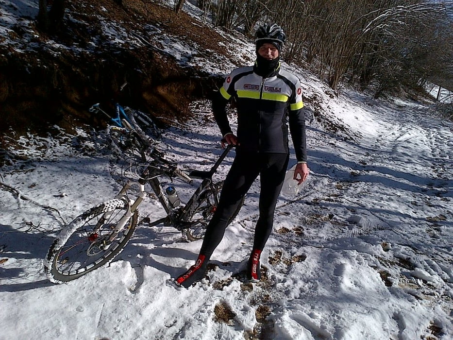
Discesa molto tecnica in single track solo per esperti della mountain bike. Consigliata MTB Full. La traccia del file GPX comprende solamente la discesa perchè la salita è fatta interamente in asfalto.


Galeria trasy

Mapa trasy i profil wysokości

  • Open Street Map
  • Google
Minimum height 226 m Maximum height 767 m Widok szczegółowy

More about the tour author

denisluca
Member since 2013

Send private message

Komentarze

prendere la salita per Cima Grappa da Semonzo direzione Campo Croce. Al 14esimo tornante prendere il sentiero che entra sulla destra e seguire la traccia

GPS tracks

Trackpoints
  • GPX / Garmin Map Source (gpx) download
  • TCX / Garmin Training Center® (tcx) download
  • CRS / Garmin Training Center® (crs) download
  • Google Earth (kml) download
  • G7ToWin (g7t) download
  • TTQV (trk) download
  • Overlay (ovl) download
  • Fugawi (txt) download
  • Kompass (DAV) Track (tk) download
  • Karta trasy (pdf) download
  • Original file of the author (gpx) download

More about the tour author

denisluca
Member since 2013

Send private message
Share track
Add to my favorites
Remove from my favorites
Edit tags
My score
Rate
Trasa: Downhill da Campo Croce
Rodzaj: Rower górski (MTB)
Długość: 3,3 km
Evaluated on:
Czas trwania:
Day(s)
Hour(s)
Minute(s)
Ocena: Krajobraz Czynnik zadowolenia Kondycja Technika