Login

Zapomniałeś swój login?

Cookies have to be accepted!
Your browser's cookie functionality is disabled. Please enable this functionality.

Not a member yet?

Register now
Login

Available for registred users only

Log in to use this feature.

Zapomniałeś swój login?

Cookies have to be accepted!
Your browser's cookie functionality is disabled. Please enable this functionality.

Not a member yet?

Register now
Filter
Kategorie
Advanced filters
  • Długość (km)
  • Wysokość
Zapisz filtr Reset filter

TrackRank

QRCode

Technical data

Długość8,0 km Wysokość422 m Way down65 m Czas trwania03:00 h:m Data11.06.2013
Oceny Author Krajobraz Czynnik zadowolenia Kondycja Technika

Statystyka

263 Widoki Oceny 39 Downloads / Pliki do pobrania Przeciętnie
Rate
  • Karta trasy
  • Dojazd
  • Downloads / Pliki do pobrania
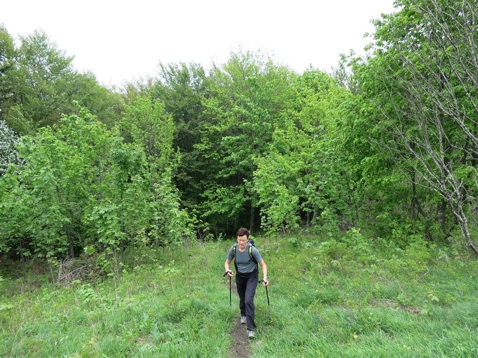
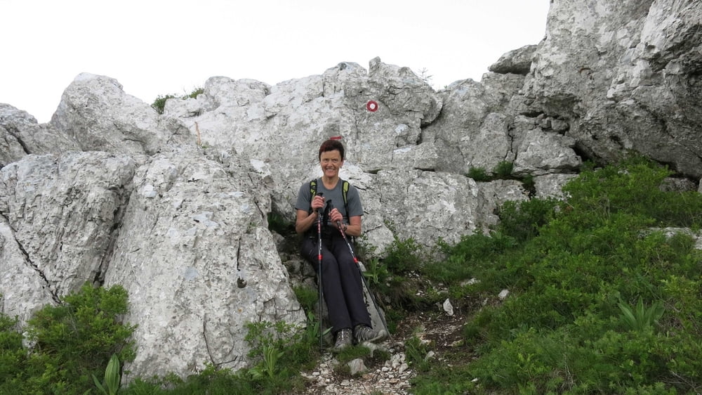
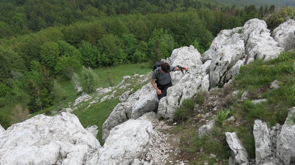
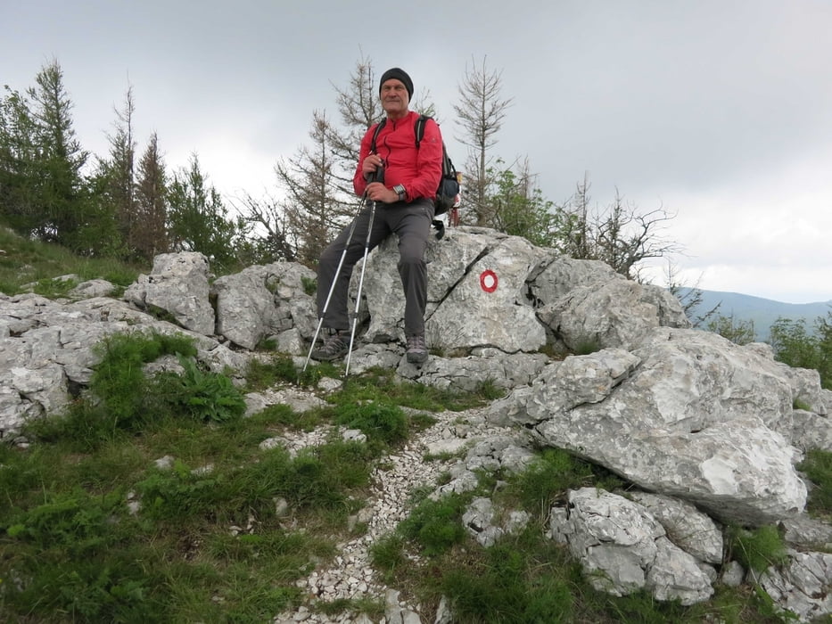
Vom Parkplatz des Gasthauses Ucka am Poklon wandert man auf einer überwiegend flachen und gut markierten Forststraße Richtung Norden. Wenn diese steiler wird und nach Osten führt, zweigt an einem Waldsattel ein Steig nach links ab, dem man folgt und kurz darauf über ein paar Felsen zum Gipfel kommt.

Galeria trasy

Mapa trasy i profil wysokości

  • Open Street Map
  • Google
Minimum height 925 m Maximum height 1289 m Widok szczegółowy

More about the tour author

RudolfTill
Member since 2011

Send private message

Komentarze

Von der Autobahn A8 fährt man bei Opatija zum Poklon über dem Ucka-Tunnel.

GPS tracks

Trackpoints
  • GPX / Garmin Map Source (gpx) download
  • TCX / Garmin Training Center® (tcx) download
  • CRS / Garmin Training Center® (crs) download
  • Google Earth (kml) download
  • G7ToWin (g7t) download
  • TTQV (trk) download
  • Overlay (ovl) download
  • Fugawi (txt) download
  • Kompass (DAV) Track (tk) download
  • Karta trasy (pdf) download
  • Original file of the author (gpx) download

More about the tour author

RudolfTill
Member since 2011

Send private message
Share track
Add to my favorites
Remove from my favorites
Edit tags
My score
Rate
Trasa: Planik
Rodzaj: Trasy górskie
Długość: 8,0 km
Evaluated on:
Czas trwania:
Day(s)
Hour(s)
Minute(s)
Ocena: Krajobraz Czynnik zadowolenia Kondycja Technika