

Entlang am Neckar führt die Tour Richtung Untertürckheim. Anfangs durch Wohngebiete, später durch Kleingärten führt der Weg konstant bergauf Richtung Kappelberg.
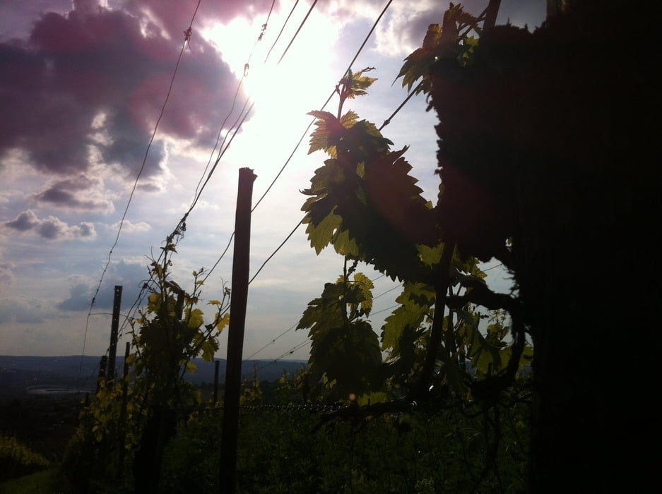
Der erste eichtige Anstieg führt durch die Weinberge hinauf zum Kappelberg & Rotberg.
Oben angekommen, eröffnet sich ein weitverzeigtes Netz an Singletrails und gut ausgebauten Wegen. An schönen Tagen sind viele Gleichgesinnte anzutreffen.
Man kann die Tour beliebig erweitern oder abkürzen - ganz nach Bedarf. Der Blick ins Neckartal ist auf jeden Fall sehenswert.
Mapa trasy i profil wysokości
Minimum height 211 m
Maximum height 505 m
More about the tour author

|
fzeitler |
Komentarze

siehe Tourenbeschreibung
GPS tracks
Trackpoints-
GPX / Garmin Map Source (gpx) download
-
TCX / Garmin Training Center® (tcx) download
-
CRS / Garmin Training Center® (crs) download
-
Google Earth (kml) download
-
G7ToWin (g7t) download
-
TTQV (trk) download
-
Overlay (ovl) download
-
Fugawi (txt) download
-
Kompass (DAV) Track (tk) download
-
Karta trasy (pdf) download
-
Original file of the author (tcx) download
More about the tour author
|
|
fzeitler |
Add to my favorites
Remove from my favorites
Edit tags
Open track
My score
Rate