


Landau/Isar - Bockerlbahnradweg - Vilstalradweg - Vilsbiburg
Vom Bahnhof Landau/Isar (Bahnstrcke München-Passau) führt der ausgeschilderter Bocklerlbahnradweg, eine ehemalige Nebenbahnstrecke, über Hügel zum Tal der Großen Vils hinunter und ab da den Vilstalradweg mehr oder weniger entlang bis Vilsbiburg (Bahnstrecke Mühldorf-Landshut).
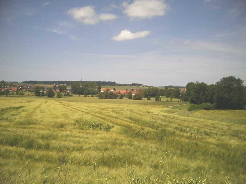
Die Wege sind fast immer gut ausgebaut und die Nebenstraßen wenig befahren. Das Vilstal ist recht ruhig und ländlich, Reisbach, Frontenhausen und Vilsbiburg sind die sehenswerten Orte auf der Tour. Am Vilsstausee besteht eine Bademöglichkeit.
Anschlußtouren:
www.gps-tour.info/de/touren/detail.90211.html (Landau - Vilshofen)
Further information at
http://www.bay-rad.de/bfr/rw/rw_79.htmGaleria trasy

Mapa trasy i profil wysokości
Minimum height 359 m
Maximum height 462 m
More about the tour author

|
freisnger |
Komentarze

GPS tracks
Trackpoints-
GPX / Garmin Map Source (gpx) download
-
TCX / Garmin Training Center® (tcx) download
-
CRS / Garmin Training Center® (crs) download
-
Google Earth (kml) download
-
G7ToWin (g7t) download
-
TTQV (trk) download
-
Overlay (ovl) download
-
Fugawi (txt) download
-
Kompass (DAV) Track (tk) download
-
Karta trasy (pdf) download
-
Original file of the author (gpx) download
More about the tour author
|
|
freisnger |
Add to my favorites
Remove from my favorites
Edit tags
Open track
My score
Rate