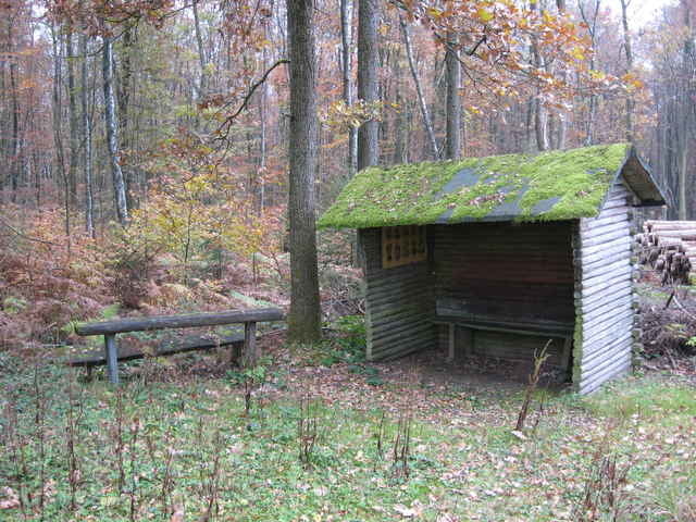
Tja, es ist schwierig, etwas Positives über diese Wanderung zu sagen. Es geht größtenteils über den "Nepthener Höhenweg", der sich auf diesem Streckenabschnitt als breiter ausgebauter Forstweg präsentiert. Wenn nicht Kyrill große Schneisen in den Hochwald geschlagen hätte, würde man die Strecke ohne große Abwechslung durch Mischwald laufen. Erst nach der "Wolfsborn Quelle" verlassen wir den Hauptweg und tauchen für einige Minuten auf einem schmalen Pfad in einen dunklen Tannenwald. Bald stösst man wieder auf einen Forstweg und so schlängelt sich der Rest der Wanderung bergab nach Ferndorf. Am Zielort muss ich die Zeit bis zur Abfahrt der Bahn am Bahnsteig absitzen, da alle Gaststätten Samstag Nachmittag (noch) geschlossen sind. Die Rückfahrt nach Köln ist recht lebhaft, da sich in meinem Waggon eine große Anzahl Einheimischer trifft, die wohl einen "netten Abend" in der Grosstadt verbringen wollen.
Galeria trasy
Mapa trasy i profil wysokości
Minimum height 273 m
Maximum height 483 m
Komentarze

Start: Bahnhof Stift Keppel-Allenbach
Ende: Bahnhof Kreuztal-Ferndorf
Ende: Bahnhof Kreuztal-Ferndorf
GPS tracks
Trackpoints-
GPX / Garmin Map Source (gpx) download
-
TCX / Garmin Training Center® (tcx) download
-
CRS / Garmin Training Center® (crs) download
-
Google Earth (kml) download
-
G7ToWin (g7t) download
-
TTQV (trk) download
-
Overlay (ovl) download
-
Fugawi (txt) download
-
Kompass (DAV) Track (tk) download
-
Karta trasy (pdf) download
-
Original file of the author (g7t) download
Add to my favorites
Remove from my favorites
Edit tags
Open track
My score
Rate


