

Tag 5
Auf dem Panoramaweg zur "Strips"
Ausgangspunkt:
Griesener Alm (988 m)
Weg:
Griesener Alm - Ranggen-Hochalm - Vordere Ranggenalm - Scheibenbühelberg - Feldberg (1756 m) - Tristecke - "Strips"
Tourdaten:
Entfernung ca. 9 Km, ca. 4 Std. 30 Min.
Unterbringung:
Stripsenjochhaus: 13 € (AV-Mitglied) bzw. 26 € pro Nacht im Zimmer + großes Frühstück a 9 €
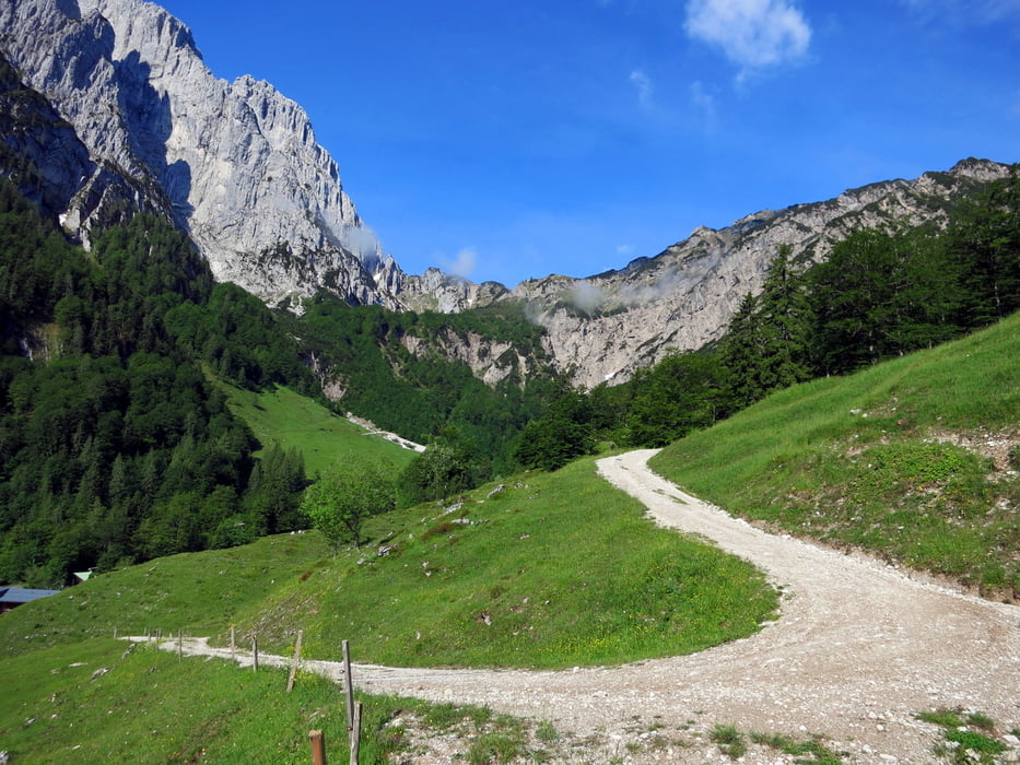
Für eine ausgedehnte Wanderung im Kaiserbachtal mit Panoramablick auf die Kletterwände von Fleischbank, Predigtstuhl und Totenkirchl bietet sich eine Überschreitung des Feldbergs und des Stripsenkopfs am Zahmen Kaiser an.
Insgesammt eine mittelschwierige Bergwanderung mit kurzen schroffigen Passagen, die Trittsicherheit verlangen.
Further information at
http://www.griesneralm.com/Galeria trasy


Mapa trasy i profil wysokości
Minimum height 989 m
Maximum height 1792 m
More about the tour author

|
vogelsang38 |
Komentarze

Parkplatz Griesener Alm von Griesenau; Auffahrt zur Alm nur mit Maut möglich.
GPS tracks
Trackpoints-
GPX / Garmin Map Source (gpx) download
-
TCX / Garmin Training Center® (tcx) download
-
CRS / Garmin Training Center® (crs) download
-
Google Earth (kml) download
-
G7ToWin (g7t) download
-
TTQV (trk) download
-
Overlay (ovl) download
-
Fugawi (txt) download
-
Kompass (DAV) Track (tk) download
-
Karta trasy (pdf) download
-
Original file of the author (gpx) download
More about the tour author
|
|
vogelsang38 |
Add to my favorites
Remove from my favorites
Edit tags
Open track
My score
Rate