Login

Zapomniałeś swój login?

Cookies have to be accepted!
Your browser's cookie functionality is disabled. Please enable this functionality.

Not a member yet?

Register now
Login

Available for registred users only

Log in to use this feature.

Zapomniałeś swój login?

Cookies have to be accepted!
Your browser's cookie functionality is disabled. Please enable this functionality.

Not a member yet?

Register now
Filter
Kategorie
Advanced filters
  • Długość (km)
  • Wysokość
Zapisz filtr Reset filter

TrackRank

QRCode

Technical data

Długość12,3 km Wysokość395 m Way down388 m Czas trwania00:00 h:m Data22.06.2013
Oceny Author Krajobraz Czynnik zadowolenia Kondycja Technika

Statystyka

3024 Widoki Oceny 56 Downloads / Pliki do pobrania Przeciętnie
Rate
  • Karta trasy
  • Dojazd
  • Downloads / Pliki do pobrania

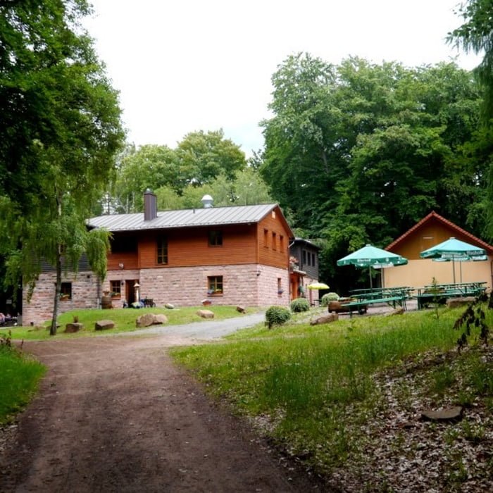
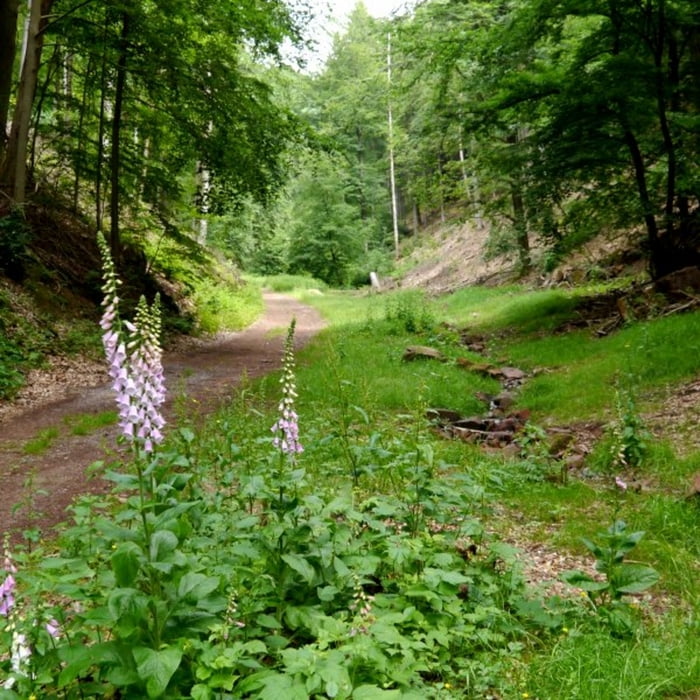
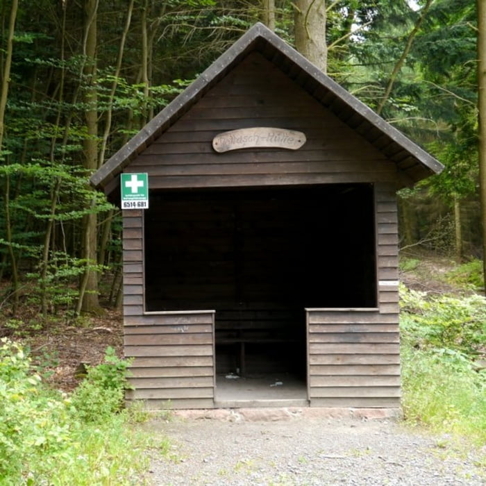
Vom Parkplatz in Neidenfels geht es zunächst auf Asphalt Straßen bis zur Lichtensteinhütte. Der weiter Verlauf um die Hohen Ebene und Salweidenkopf verläuft etwa gleichermaßen auf sehr schönen Waldpfaden und ebenen Forstwirtschaftswegen. Auf dem Weg zum Waldhaus Lambertskreuz liegen die Pottasch Hütte, eine weiter relativ große Schutzhütte und der Nadenbrunnen. Die An- und Abstiege sind sehr moderat und stellen keine große Schwierigkeit dar.


Galeria trasy

Mapa trasy i profil wysokości

  • Open Street Map
  • Google
Minimum height 177 m Maximum height 510 m Widok szczegółowy

More about the tour author

isg13
Member since 2010

Send private message

Komentarze

Startpunkt der Tour ist der Parkplatz in Neidenfels.


GPS tracks

Trackpoints
  • GPX / Garmin Map Source (gpx) download
  • TCX / Garmin Training Center® (tcx) download
  • CRS / Garmin Training Center® (crs) download
  • Google Earth (kml) download
  • G7ToWin (g7t) download
  • TTQV (trk) download
  • Overlay (ovl) download
  • Fugawi (txt) download
  • Kompass (DAV) Track (tk) download
  • Karta trasy (pdf) download
  • Original file of the author (gpx) download

More about the tour author

isg13
Member since 2010

Send private message
Share track
Add to my favorites
Remove from my favorites
Edit tags
My score
Rate
Trasa: Pfälzer Rundwanderung mit Einkehr - Waldhaus Lambertskreuz
Rodzaj: Wędrówki
Długość: 12,3 km
Evaluated on:
Czas trwania:
Day(s)
Hour(s)
Minute(s)
Ocena: Krajobraz Czynnik zadowolenia Kondycja Technika