Login

Zapomniałeś swój login?

Cookies have to be accepted!
Your browser's cookie functionality is disabled. Please enable this functionality.

Not a member yet?

Register now
Login

Available for registred users only

Log in to use this feature.

Zapomniałeś swój login?

Cookies have to be accepted!
Your browser's cookie functionality is disabled. Please enable this functionality.

Not a member yet?

Register now
Filter
Kategorie
Advanced filters
  • Długość (km)
  • Wysokość
Zapisz filtr Reset filter

TrackRank

QRCode

Technical data

Długość33,9 km Wysokość514 m Way down481 m Czas trwania02:00 h:m Data22.06.2013
Oceny Author Krajobraz Czynnik zadowolenia Kondycja Technika

Statystyka

257 Widoki Oceny 32 Downloads / Pliki do pobrania Przeciętnie
Rate
  • Karta trasy
  • Dojazd
  • Downloads / Pliki do pobrania

Start der Tour ist in Ebreichsdorf von hier geht es über Feldwege nach

Wampersdorf/Wimpassing, dann am B11 Radweg entlang nach Hornstein.

Von Hornstein über Waldwege auf den Aussichtsturm am Sonnenberg.

Weiter über Waldwege Richtung Loretto, durch die Weingärten nach

Wimpassing/Wampersdorf und wieder zurück nach Ebreichsdorf.
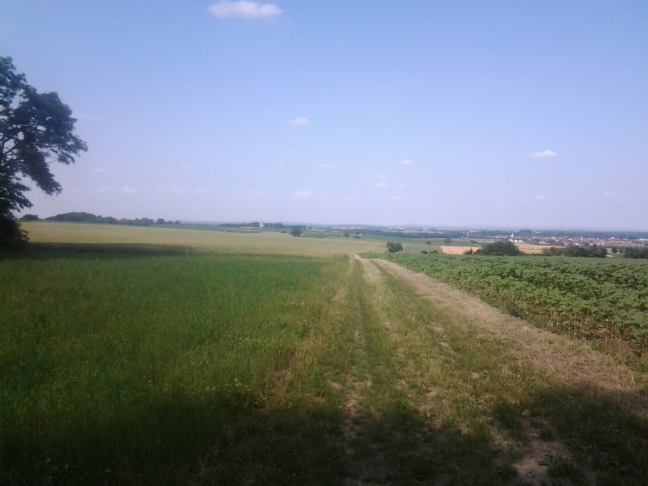
Galeria trasy

Mapa trasy i profil wysokości

  • Open Street Map
  • Google
Minimum height 171 m Maximum height 485 m Widok szczegółowy

More about the tour author

kersti
Member since 2012

Send private message

Komentarze

Parkmöglichkeit Sportplatz Ebreichsdorf

GPS tracks

Trackpoints
  • GPX / Garmin Map Source (gpx) download
  • TCX / Garmin Training Center® (tcx) download
  • CRS / Garmin Training Center® (crs) download
  • Google Earth (kml) download
  • G7ToWin (g7t) download
  • TTQV (trk) download
  • Overlay (ovl) download
  • Fugawi (txt) download
  • Kompass (DAV) Track (tk) download
  • Karta trasy (pdf) download
  • Original file of the author (gpx) download

More about the tour author

kersti
Member since 2012

Send private message
Share track
Add to my favorites
Remove from my favorites
Edit tags
My score
Rate
Trasa: Ebreichsdorf -Leithagebirge
Rodzaj: Rower górski (MTB)
Długość: 33,9 km
Evaluated on:
Czas trwania:
Day(s)
Hour(s)
Minute(s)
Ocena: Krajobraz Czynnik zadowolenia Kondycja Technika