Login

Zapomniałeś swój login?

Cookies have to be accepted!
Your browser's cookie functionality is disabled. Please enable this functionality.

Not a member yet?

Register now
Login

Available for registred users only

Log in to use this feature.

Zapomniałeś swój login?

Cookies have to be accepted!
Your browser's cookie functionality is disabled. Please enable this functionality.

Not a member yet?

Register now
Filter
Kategorie
Advanced filters
  • Długość (km)
  • Wysokość
Zapisz filtr Reset filter

TrackRank

QRCode

Technical data

Długość60,6 km Wysokość956 m Way down946 m Czas trwania05:00 h:m Data24.06.2013
Oceny Author Krajobraz Czynnik zadowolenia Kondycja Technika

Statystyka

1650 Widoki 2 Oceny 197 Downloads / Pliki do pobrania 2.50 Przeciętnie
Rate
  • Karta trasy
  • Dojazd
  • Downloads / Pliki do pobrania

Von Saig über Lenzkirch Richtung Wutachschlucht.

Auf der Stallegg-Brücke überqueren wir die Wutach. Hier beginnt von 580 Höhenmeter aus ein kurzer steiler Anstieg, dann recht einfach über Rötenbach auf guten Waldwegen zum Eisenbacher Höchst  auf eine Höhe von 1029 m.

Weiter zur Schwärzenbacherhöhe, Einkehrmöglichkeit im Gasthaus Ahorn oder Salenhof.

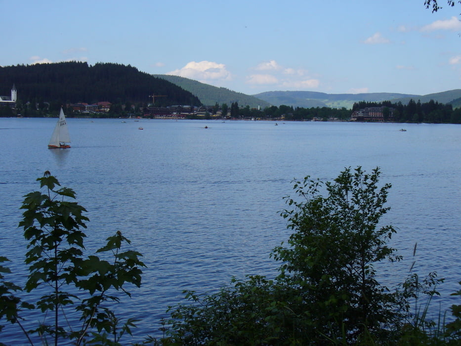
Vom Salenhof eine Abfahrt Richtung Titisee. Am Titisee entlang gehts dann wieder rauf nach Bärental und über das Schuppenhörnle zurück nach Saig.

Further information at

http://www.haus-loni.de

Galeria trasy

Mapa trasy i profil wysokości

  • Open Street Map
  • Google
Minimum height 715 m Maximum height 1095 m Widok szczegółowy

More about the tour author

Arni51
Member since 2011

Send private message

Komentarze

krawallole on 11.09.2016

Tolle Tour

Bin die Tour heute abgefahren, da diese für meine Mountainbike- Gruppe als Abschlusstour in Frage stand. Kann diesen Rundtrack absolut empfehlen. Lohnenswert ist der Abstecher ans Elektrizitätswerk Stallegg. Am Titisee (vor allem am Wochenende) sind viele Touristen unterwegs, hier ist unbedingt ein gemäßigtes Tempo zu empfehlen.
Hoppel9 on 09.08.2020

Tour war eine Entäuschung

Kann diese Tour nicht als Mountainbiketour empfehlen.
Der größte Teil ist auf geteerten Radwegen oder auf Waldautobahnen. Nur ab und zu eine schöne Aussicht.
Parkmöglichkeit in Saig beim Haus des Gastes, Minigolfplatz.

GPS tracks

Trackpoints
  • GPX / Garmin Map Source (gpx) download
  • TCX / Garmin Training Center® (tcx) download
  • CRS / Garmin Training Center® (crs) download
  • Google Earth (kml) download
  • G7ToWin (g7t) download
  • TTQV (trk) download
  • Overlay (ovl) download
  • Fugawi (txt) download
  • Kompass (DAV) Track (tk) download
  • Karta trasy (pdf) download
  • Original file of the author (gpx) download

More about the tour author

Arni51
Member since 2011

Send private message
Share track
Add to my favorites
Remove from my favorites
Edit tags
My score
Rate
Trasa: Wutachschlucht-Stallegg Schwärzenbach Titisee
Rodzaj: Rower górski (MTB)
Długość: 60,6 km
Evaluated on:
Czas trwania:
Day(s)
Hour(s)
Minute(s)
Ocena: Krajobraz Czynnik zadowolenia Kondycja Technika