Login

Zapomniałeś swój login?

Cookies have to be accepted!
Your browser's cookie functionality is disabled. Please enable this functionality.

Not a member yet?

Register now
Login

Available for registred users only

Log in to use this feature.

Zapomniałeś swój login?

Cookies have to be accepted!
Your browser's cookie functionality is disabled. Please enable this functionality.

Not a member yet?

Register now
Filter
Kategorie
Advanced filters
  • Długość (km)
  • Wysokość
Zapisz filtr Reset filter

TrackRank

QRCode

Technical data

Długość12,1 km Wysokość176 m Way down166 m Czas trwania02:30 h:m Data28.06.2013
Oceny Author Krajobraz Czynnik zadowolenia Kondycja Technika

Statystyka

1243 Widoki Oceny 45 Downloads / Pliki do pobrania Przeciętnie
Rate
  • Karta trasy
  • Dojazd
  • Downloads / Pliki do pobrania
Schöner Rundwanderweg mit tollen Aussichten, ganzjährig begehbar

Mapa trasy i profil wysokości

  • Open Street Map
  • Google
Minimum height 406 m Maximum height 500 m Widok szczegółowy

More about the tour author

uauwi
Member since 2013

Send private message

Komentarze

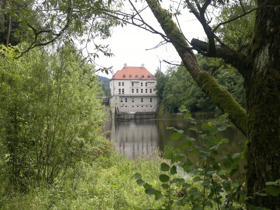
Ausgangspunkt ist der Parkplatz direkt am Höllensteinstausee

GPS tracks

Trackpoints
  • GPX / Garmin Map Source (gpx) download
  • TCX / Garmin Training Center® (tcx) download
  • CRS / Garmin Training Center® (crs) download
  • Google Earth (kml) download
  • G7ToWin (g7t) download
  • TTQV (trk) download
  • Overlay (ovl) download
  • Fugawi (txt) download
  • Kompass (DAV) Track (tk) download
  • Karta trasy (pdf) download
  • Original file of the author (gpx) download

More about the tour author

uauwi
Member since 2013

Send private message
Share track
Add to my favorites
Remove from my favorites
Edit tags
My score
Rate
Trasa: Vom Höllensteinstausee zum Blaibachsee am Schwarzen Regen entlang zurück
Rodzaj: Wędrówki
Długość: 12,1 km
Evaluated on:
Czas trwania:
Day(s)
Hour(s)
Minute(s)
Ocena: Krajobraz Czynnik zadowolenia Kondycja Technika