
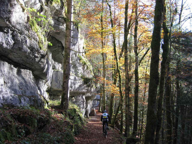

Start: Parking von Acrolang (Skilift von La Chaux-de-Fonds). Am Amfang, viele single track. Nacher, es gibt ein wunderbar Abfahrt, die zum "Les Gorges du Doubs" kommt. Sie folgen "Les Gorges du Doubs", auf ein sehr schöne single track zum Damm "le barrage du Chatelot".
Sie ausftiegen auf ein weg während 2-3km. Nehmen Sie rechts ein steil single track. Nacher, es ist weg zum "Les PLanchettes" dorf. Folgen markieren MTB strecke zum Pouillerel und sie machen ein wunderbar Abfahrte zum Parking ACROLAND.
PS1: Es gibt viele Füssganger am Sonntag oder Feiertag
PS2: Bitte, seien höflich (Pardon, Bonjour, Merci) mit Füssganger
Mapa trasy i profil wysokości
Minimum height 669 m
Maximum height 1288 m
More about the tour author

|
preusser |
Komentarze
GPS tracks
Trackpoints-
GPX / Garmin Map Source (gpx) download
-
TCX / Garmin Training Center® (tcx) download
-
CRS / Garmin Training Center® (crs) download
-
Google Earth (kml) download
-
G7ToWin (g7t) download
-
TTQV (trk) download
-
Overlay (ovl) download
-
Fugawi (txt) download
-
Kompass (DAV) Track (tk) download
-
Karta trasy (pdf) download
-
Original file of the author (gpx) download
More about the tour author
|
|
preusser |
Add to my favorites
Remove from my favorites
Edit tags
Open track
My score
Rate
moi