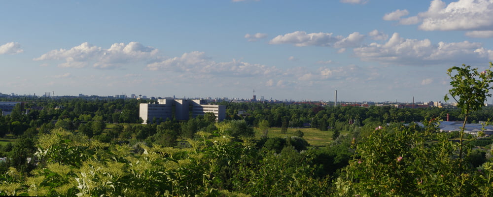
Kurze Entspannungsrunde im Freizeitpark Marienfelde.
Gleich beim Parkplatz beginnt der Fußweg im Park. Kleine Lehrtafeln bringen die umgebende Natur nahe.
Nach dem Bogen zweigt ein Weg zum Gipfel ab, Von oben öffnet sich eine weite Aussicht über das IBM Gelände und an die Teltower Ebene.
Über einen Wiesenweg geht es zu einem gepflegten Weg der zum Ausgangspunkt zurückführt.
Further information at
https://de.wikipedia.org/wiki/Berlin-MarienfeldeGaleria trasy
Mapa trasy i profil wysokości
Minimum height 1 m
Maximum height 79 m
Komentarze

Parkplatz in der Straße 478
GPS tracks
Trackpoints-
GPX / Garmin Map Source (gpx) download
-
TCX / Garmin Training Center® (tcx) download
-
CRS / Garmin Training Center® (crs) download
-
Google Earth (kml) download
-
G7ToWin (g7t) download
-
TTQV (trk) download
-
Overlay (ovl) download
-
Fugawi (txt) download
-
Kompass (DAV) Track (tk) download
-
Karta trasy (pdf) download
-
Original file of the author (gpx) download
Add to my favorites
Remove from my favorites
Edit tags
Open track
My score
Rate

