Login

Zapomniałeś swój login?

Cookies have to be accepted!
Your browser's cookie functionality is disabled. Please enable this functionality.

Not a member yet?

Register now
Login

Available for registred users only

Log in to use this feature.

Zapomniałeś swój login?

Cookies have to be accepted!
Your browser's cookie functionality is disabled. Please enable this functionality.

Not a member yet?

Register now
Filter
Kategorie
Advanced filters
  • Długość (km)
  • Wysokość
Zapisz filtr Reset filter

TrackRank

QRCode

Technical data

Długość63,4 km Wysokość2286 m Way down2260 m Czas trwania05:33 h:m Data03.07.2013
Oceny Author Krajobraz Czynnik zadowolenia Kondycja Technika

Statystyka

575 Widoki Oceny 59 Downloads / Pliki do pobrania Przeciętnie
Rate
  • Karta trasy
  • Dojazd
  • Downloads / Pliki do pobrania

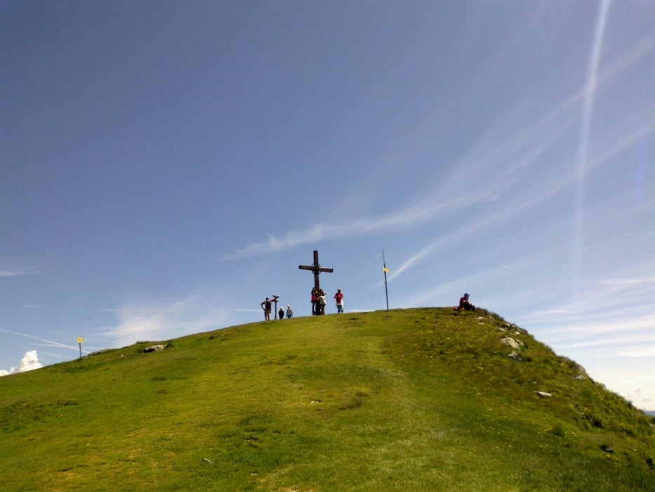
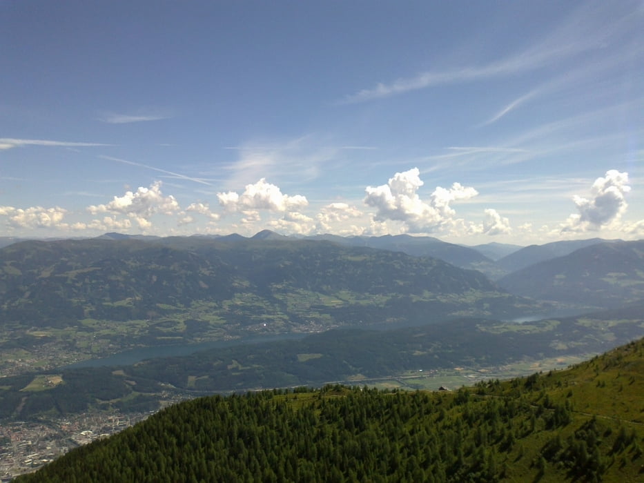
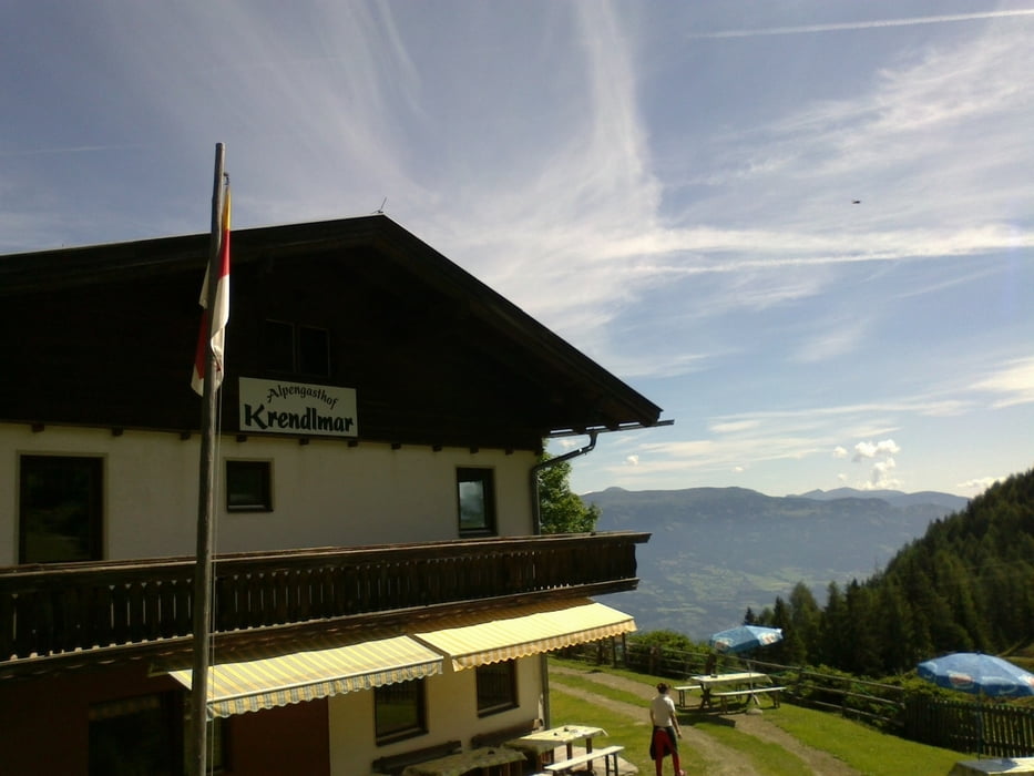
Von Spittal die schöne Forststraße bis aufs Goldeck. Nette Einkehr in der Panorama Alm. Zurück in den Siflitzgraben. Richtung Siflitz noch einmal ein schön zu fahrender 500 hm Anstieg. Dann gehts auf der Forstraße hinunter Richtung Sachsenburg. Achtung: rechts ab nach Rosenheim auf tw Wiesenweg der Drau entlang. Ab Rosenheim dem Drauradweg bis Spittal folgen.

Insgesamt eine ansprechende Tour, technisch nicht anspruchsvoll.


Galeria trasy

Mapa trasy i profil wysokości

  • Open Street Map
  • Google
Minimum height 513 m Maximum height 2141 m Widok szczegółowy

More about the tour author

mitter
Member since 2008

Send private message

Komentarze

Start in Spittal beim Spital.


GPS tracks

Trackpoints
  • GPX / Garmin Map Source (gpx) download
  • TCX / Garmin Training Center® (tcx) download
  • CRS / Garmin Training Center® (crs) download
  • Google Earth (kml) download
  • G7ToWin (g7t) download
  • TTQV (trk) download
  • Overlay (ovl) download
  • Fugawi (txt) download
  • Kompass (DAV) Track (tk) download
  • Karta trasy (pdf) download
  • Original file of the author (gpx) download

More about the tour author

mitter
Member since 2008

Send private message
Share track
Add to my favorites
Remove from my favorites
Edit tags
My score
Rate
Trasa: Goldeck 130702
Rodzaj: Rower górski (MTB)
Długość: 63,4 km
Evaluated on:
Czas trwania:
Day(s)
Hour(s)
Minute(s)
Ocena: Krajobraz Czynnik zadowolenia Kondycja Technika