
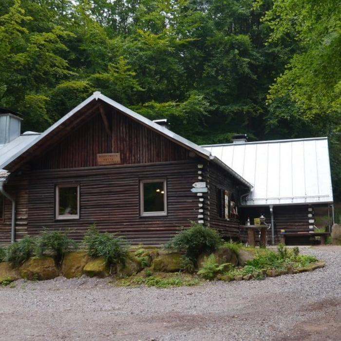

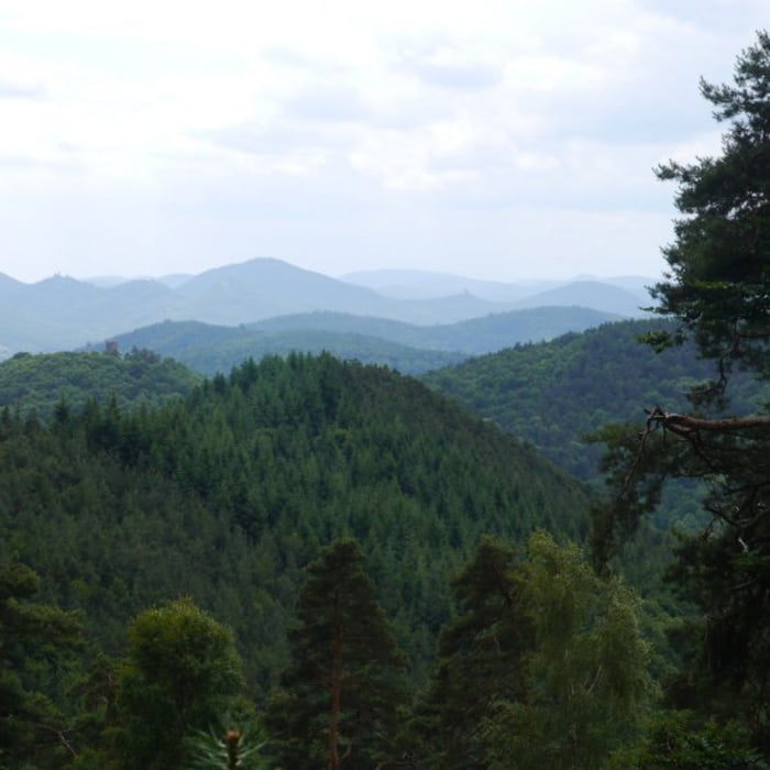
Die Strecke führt zunächst durch Ramberg, bevor es auf Forstwirtschaftswegen bergauf zum Ramberger Waldhaus (Drei Buchen) geht. Ab dort verläuft die Wanderung über längere Stecken auf relativ konstantem Niveau - sehr schöne Ausblicke, Picknickplätze und eine Quelle säumen den Weg. Der Weg bergab zur Böchinger Hütte und wieder bergauf zurück zur Tour ist ein wenig anstrengend, lohnt sich jedoch. Zum Parkplatz ist die Reststecke dann nicht mehr weit, bei schlechtem Wetter bietet eine Schutzhütte Unterschlupf.
Galeria trasy


Mapa trasy i profil wysokości
Minimum height 223 m
Maximum height 537 m
More about the tour author

|
isg13 |
Komentarze

Startpunkt der Tour ist der Parkplatz westlich von Ramberg.
GPS tracks
Trackpoints-
GPX / Garmin Map Source (gpx) download
-
TCX / Garmin Training Center® (tcx) download
-
CRS / Garmin Training Center® (crs) download
-
Google Earth (kml) download
-
G7ToWin (g7t) download
-
TTQV (trk) download
-
Overlay (ovl) download
-
Fugawi (txt) download
-
Kompass (DAV) Track (tk) download
-
Karta trasy (pdf) download
-
Original file of the author (gpx) download
More about the tour author
|
|
isg13 |
Add to my favorites
Remove from my favorites
Edit tags
Open track
My score
Rate