


Kurze Runde durch den Berliner Süden über den Insulaner und das Tempelhofer Feld.
Den Insulaner habe ich, warum auch immer, noch nie mit dem Fahrrad befahren. Das habe ich nachgeholt und es war wie ich erwartet hatt schön. Die Wege sind gut fahrbar und der Schlittenhang ist schön zum hochradeln und zum runterrollen.
Die anschließeStrecke an der Bahn entlang über das Südkreuz ist entspannend und weitgehend frei von Stress.
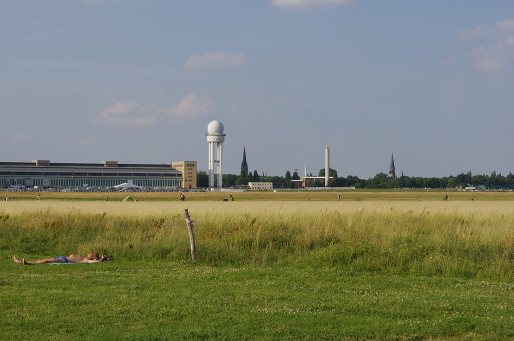
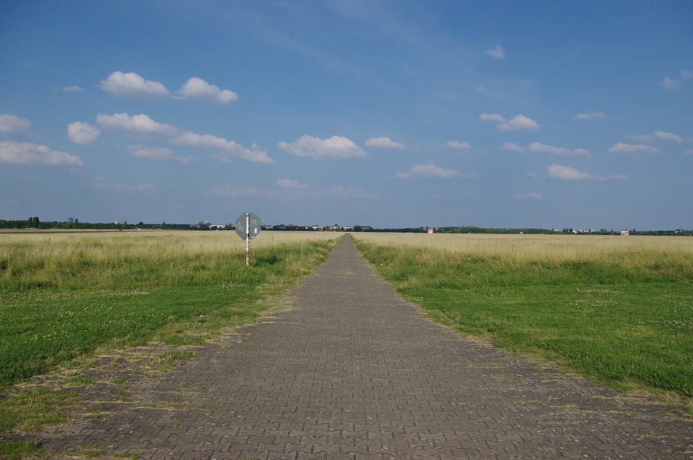
Der Stress tritt auf wenn der Tempelhofer Damm gequert werden soll. Das Tempelhofer Feld entschädigt aber dann voll.
Der anschließende Rückweg über Berliner Radwege erfordert ein Mountainbike.
War nett.
Further information at
http://www.planetarium-berlin.de/StartGaleria trasy


Mapa trasy i profil wysokości
Minimum height 41 m
Maximum height 78 m
More about the tour author
|
|
Pheinz |
Komentarze

Einstieg an beliebiger Stelle.
GPS tracks
Trackpoints-
GPX / Garmin Map Source (gpx) download
-
TCX / Garmin Training Center® (tcx) download
-
CRS / Garmin Training Center® (crs) download
-
Google Earth (kml) download
-
G7ToWin (g7t) download
-
TTQV (trk) download
-
Overlay (ovl) download
-
Fugawi (txt) download
-
Kompass (DAV) Track (tk) download
-
Karta trasy (pdf) download
-
Original file of the author (gpx) download
More about the tour author
|
|
Pheinz |
Add to my favorites
Remove from my favorites
Edit tags
Open track
My score
Rate