


Von Gönnern über das alte Forsthaus auf die Bottenhorner Höhen. Am Friedhof von Bottenhorn vorbei zur Hauptstraße Bottenhorn/Steinperf und diese überquert. Weiter auf den Höhenzug zum Verbindungsweg Steinperf/Holzhausen H. und von dort runder nach Mornshausen/D.
Kleine Pause bei der Jugendverkehrsschule Dautphetal. Von dor weiter zum Camp Freedom oberhalb von Dautphe. Im weiteren Verlauf ging es am Sportplatz von Silberg vorbei nach Niedereisenhausen. Oberhalb vom Gewerbegebiet ging es wieder zurück nach Gönnern.
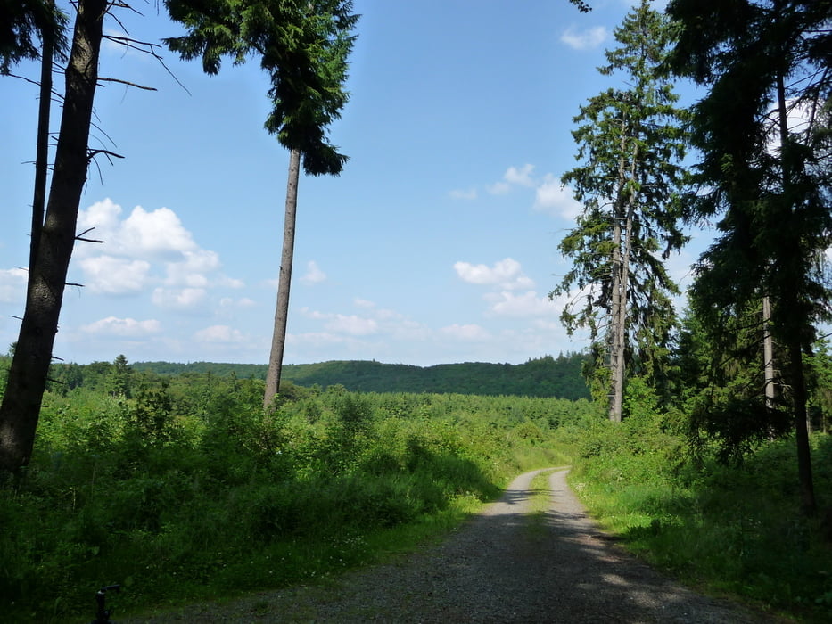
Galeria trasy


Mapa trasy i profil wysokości
Minimum height 261 m
Maximum height 545 m
More about the tour author
|
|
wwwsi07de |
Komentarze

GPS tracks
Trackpoints-
GPX / Garmin Map Source (gpx) download
-
TCX / Garmin Training Center® (tcx) download
-
CRS / Garmin Training Center® (crs) download
-
Google Earth (kml) download
-
G7ToWin (g7t) download
-
TTQV (trk) download
-
Overlay (ovl) download
-
Fugawi (txt) download
-
Kompass (DAV) Track (tk) download
-
Karta trasy (pdf) download
-
Original file of the author (gpx) download
More about the tour author
|
|
wwwsi07de |
Add to my favorites
Remove from my favorites
Edit tags
Open track
My score
Rate