


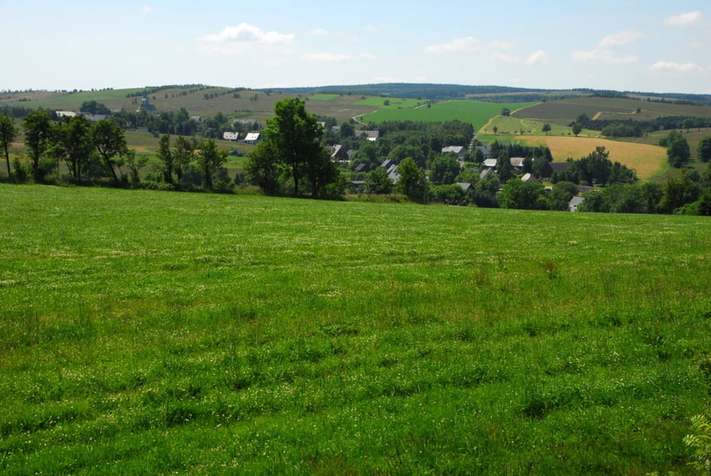
Wir starten in Fürstenau und stellen recht schnell fest, dass von der Grube selbst nichts mehr zu erkennen ist. Also laufen wir weiter Richtung Müglitztal. Dieser Weg wird sehr selten benutzt und ist stark mit Gräsern und Farnen überwuchert. Auf der ruhigen Landstrasse geht es wieder zurück. Diese liegt recht hoch und man hat einen herrlichen Rundblick bis weit ins Böhmische hinein.
Galeria trasy
Mapa trasy i profil wysokości
Minimum height 641 m
Maximum height 746 m
More about the tour author

|
Huegelfred |
Komentarze

Anfahrt: Dresden - Altenberg - Geising - Fürstenau
Rückfahrt: Fürstenau - Müglitz - Lauenstein - Glashütte - Dresden
GPS tracks
Trackpoints-
GPX / Garmin Map Source (gpx) download
-
TCX / Garmin Training Center® (tcx) download
-
CRS / Garmin Training Center® (crs) download
-
Google Earth (kml) download
-
G7ToWin (g7t) download
-
TTQV (trk) download
-
Overlay (ovl) download
-
Fugawi (txt) download
-
Kompass (DAV) Track (tk) download
-
Karta trasy (pdf) download
-
Original file of the author (gpx) download
More about the tour author
|
|
Huegelfred |
Add to my favorites
Remove from my favorites
Edit tags
Open track
My score
Rate