
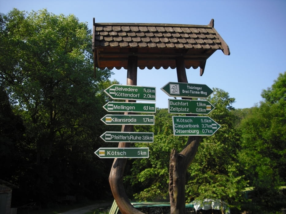

Diese Tour ist ein Teil vom Drei-Türme-Weg Bad Berka. Gestartet sind wir beim Campingplatz Ilm-Camping Oettern. Mit leichten Anstiegen kommen wir von Oettern über Köttendorf zum Hainturm. Weiter vorbei an einem Spielplatz zum Schlosspark Belvedere (Einkehrmöglichkeit ab 11 Uhr, NICHT Montags). Über Vollersroda gehts nun zur Histurischen Gaststätte Balsamine mit Panoramablick (Montag bis Mittw. geschlossen).
Von hier haben wir einen schönen Ausblick auf das Ilmtal. In Buchfahrt (am Ilmradweg) gibts nun doch eine Einkehr (ab 14 Uhr). Durch ein kleines Waldstück kommen wir zurück zum Startpunkt Camping-Oettern.
Infos: www.drei-tuerme-weg.de
Die Höhenaufzeichnung ist fehlerhaft (keine Kalibrierung)
Further information at
http://www.camping-oettern.deGaleria trasy


Mapa trasy i profil wysokości
Minimum height 111 m
Maximum height 348 m
More about the tour author
|
|
Bockrider |
Komentarze

Oettern an der B87 Mellingen - Bad Berka. oder am Schloss Belvedere bei Weimar
GPS tracks
Trackpoints-
GPX / Garmin Map Source (gpx) download
-
TCX / Garmin Training Center® (tcx) download
-
CRS / Garmin Training Center® (crs) download
-
Google Earth (kml) download
-
G7ToWin (g7t) download
-
TTQV (trk) download
-
Overlay (ovl) download
-
Fugawi (txt) download
-
Kompass (DAV) Track (tk) download
-
Karta trasy (pdf) download
-
Original file of the author (gpx) download
More about the tour author
|
|
Bockrider |
Add to my favorites
Remove from my favorites
Edit tags
Open track
My score
Rate