


Gut in ca. 30 bis 45 min aus dem Großraum Düsseldorf zu erreichen.
Einkehrmöglichkeit: Dalheimer Mühle - http://www.dalheimer-muehle.de/index.html -
Start und Ziel ist der Parkplatz in der Nähe des Waldfriedhofs
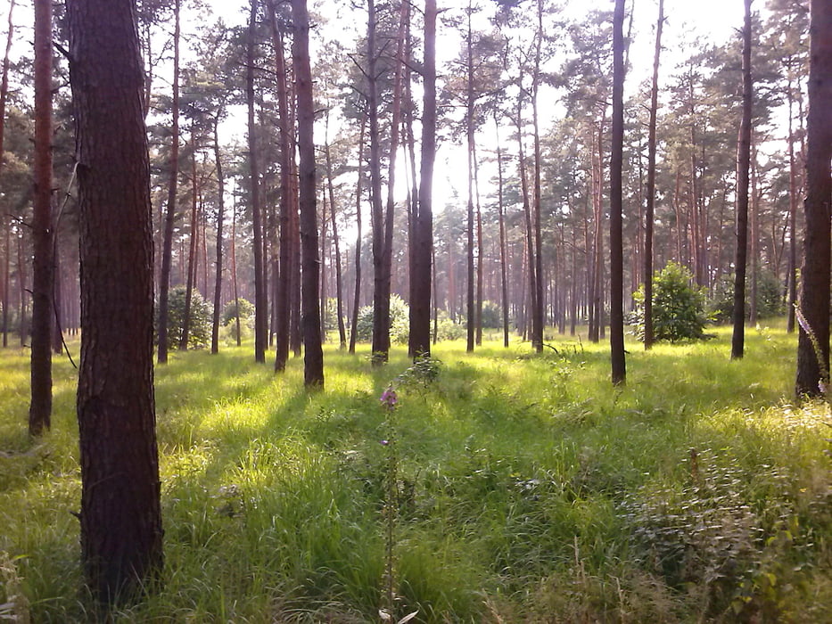
Kleine, einfache Tour durch einen Mischwald im Naturpark Schwalm Nette in der Nähe des niederländischen Nationalparks De Meinweg
Der Weg beginnt am Schlagbaum vorbei in den Wald.
Wege: Forstweg/e und einen kurzen asphaltierten Weg vorbei an landwirtschaftl. gen. Fläche, ganz kurz durch einen kleinen Ort (Rosenthal) und am Campingplatz vorbei zurück in den Wald
http://www.dalheimer-muehle.de/img/DMKarte.pdf
Further information at
http://www.dalheim-roedgen.info/Galeria trasy
Mapa trasy i profil wysokości
Minimum height
Maximum height 111 m
More about the tour author

|
Tomwalterfrank |
Komentarze

Autobahn A52 von Mönchengladbach oder Roermond
Ausfahrt Niederkrüchten dann rechts auf die B221
Parkplatz in der Nähe des Waldfriedhofs
Hessenfeld 61 in 41884 Wegberg
GPS tracks
Trackpoints-
GPX / Garmin Map Source (gpx) download
-
TCX / Garmin Training Center® (tcx) download
-
CRS / Garmin Training Center® (crs) download
-
Google Earth (kml) download
-
G7ToWin (g7t) download
-
TTQV (trk) download
-
Overlay (ovl) download
-
Fugawi (txt) download
-
Kompass (DAV) Track (tk) download
-
Karta trasy (pdf) download
-
Original file of the author (gpx) download
More about the tour author
|
|
Tomwalterfrank |
Add to my favorites
Remove from my favorites
Edit tags
Open track
My score
Rate