


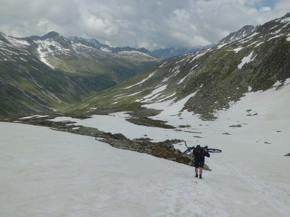
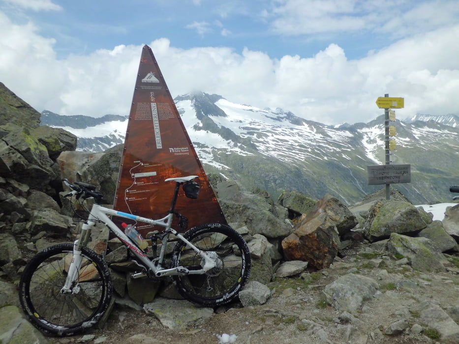
Wenig befahrener Übergang über den Alpenhauptkamm. Landschaftlich extrem beeindruckend, allerdings nicht ohne erheblichen Schiebe- und Trageanteil bergauf zu haben.
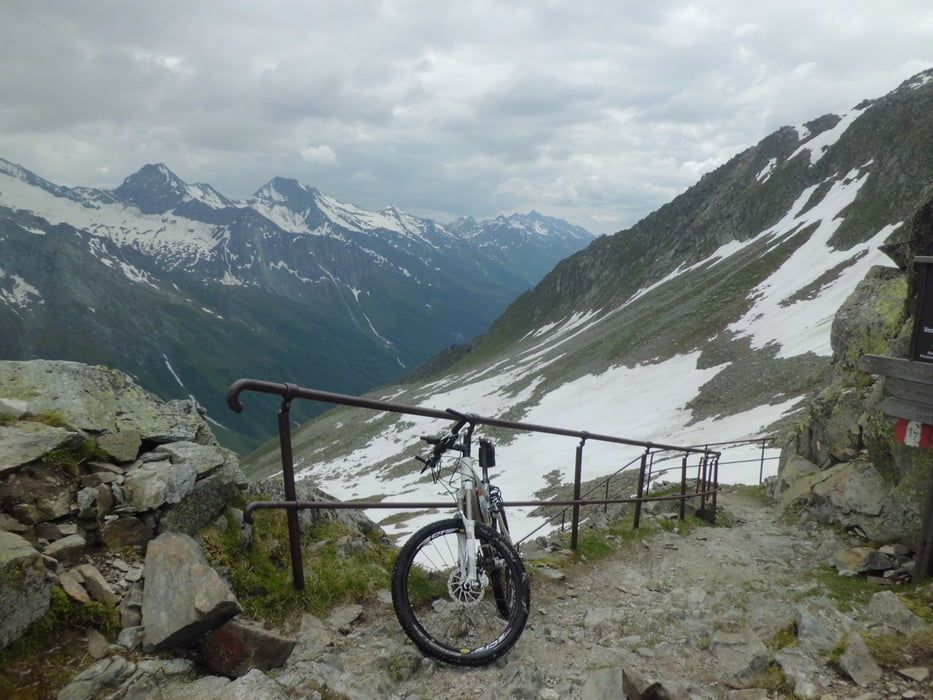
Die Abfahrt auf der italienischen Seite wurde kürzlich Instand gesetzt und ist auch für "Nicht-Freerider" weitgehend fahrbar. Allerdings ist eine gewisse Mindest-Technik schon vorausgesetzt. Es ist sicher keine einfache Abfahrt.
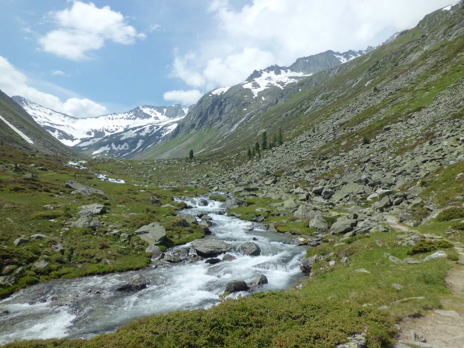
Normalerweise im Juli weniger schneelastig als im Zeitpunkt unserer Tour 2013.
Galeria trasy
Mapa trasy i profil wysokości
Minimum height 1068 m
Maximum height 2634 m
More about the tour author
|
|
branco68 |
Komentarze

2. Etappe einer Transalp mit anschließender Dolomitenrunde
GPS tracks
Trackpoints-
GPX / Garmin Map Source (gpx) download
-
TCX / Garmin Training Center® (tcx) download
-
CRS / Garmin Training Center® (crs) download
-
Google Earth (kml) download
-
G7ToWin (g7t) download
-
TTQV (trk) download
-
Overlay (ovl) download
-
Fugawi (txt) download
-
Kompass (DAV) Track (tk) download
-
Karta trasy (pdf) download
-
Original file of the author (gpx) download
More about the tour author
|
|
branco68 |
Add to my favorites
Remove from my favorites
Edit tags
Open track
My score
Rate