


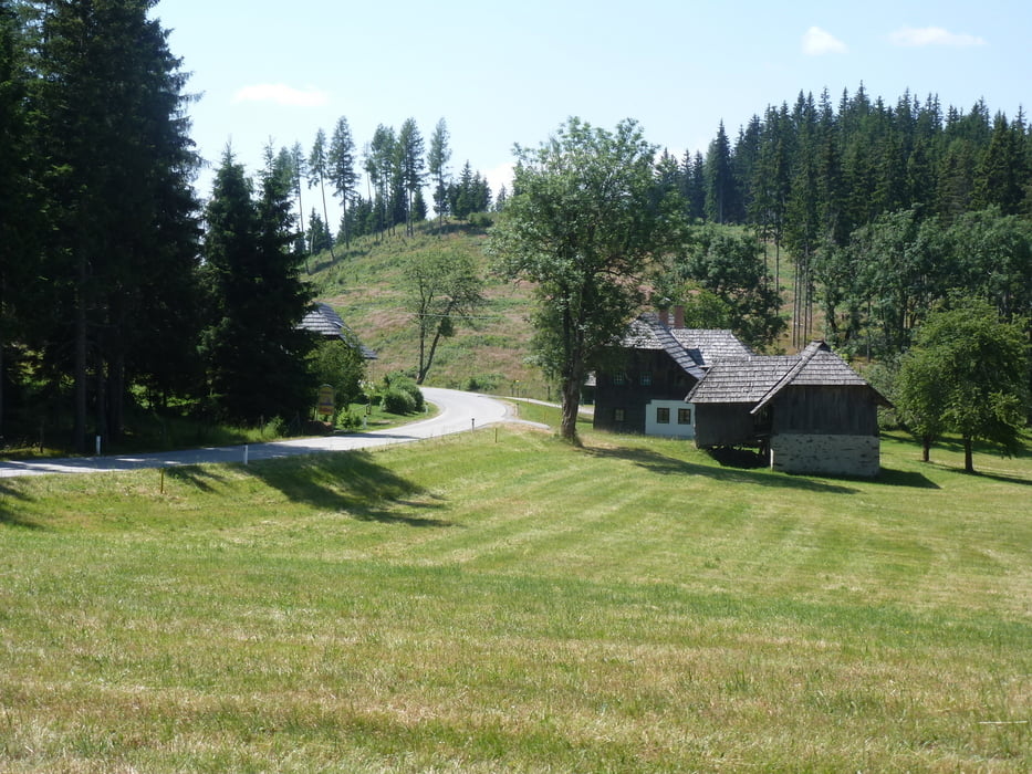
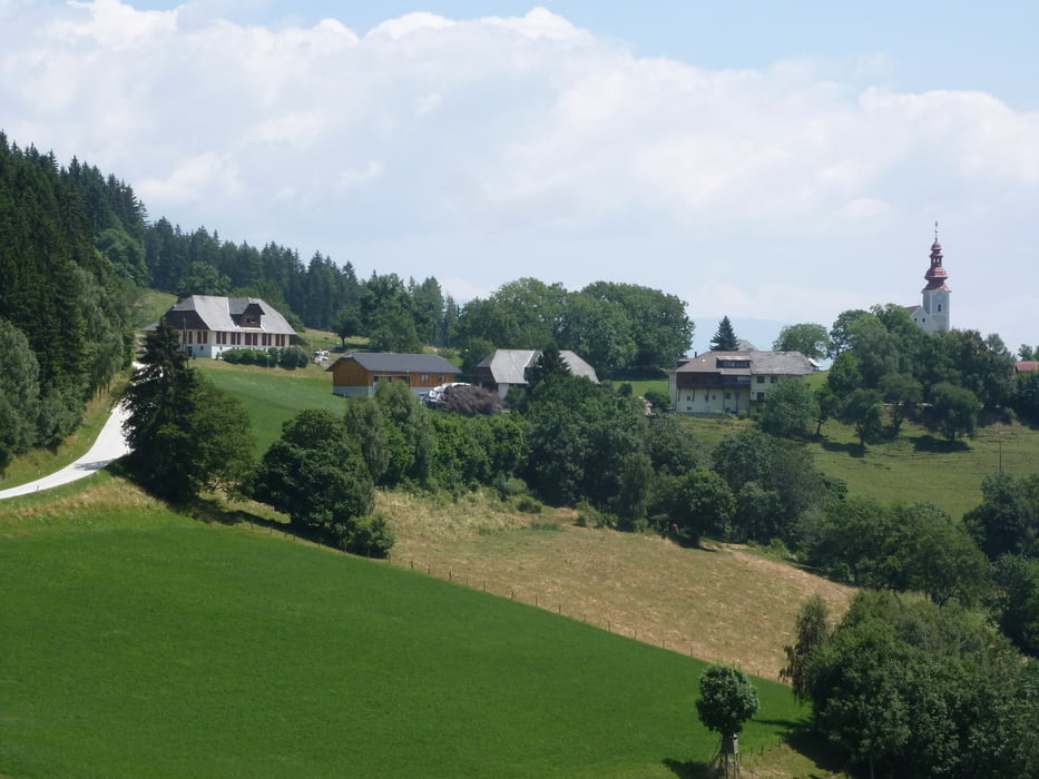
Diese Tour führt von Friesach ins Metnitztal, eines der ruhigsten Täler Kärntens, quert über die Prekowa (1180 m) ins Gurktal nach Strassburg und quert gleich weiter über den Gunzenberg (1020 m) nach Meiselding, von dort könnte man zurück über den R7D und R7 nach Friesach fahren nach St. Veit das wären dann nur 50 km oder wie in diesem Fall über den R7 weiter nach Klagenfurt mit 70 km. Die Straßen sind durchwegs asphaltiert, wenig befahren und landschaftlich sehr schön gelegen.
Galeria trasy


Mapa trasy i profil wysokości
Minimum height 449 m
Maximum height 1194 m
More about the tour author
|
|
walderich |
Komentarze

Bis Friesach mit der (S)Bahn oder PKW - dann am besten Rundkurs.
GPS tracks
Trackpoints-
GPX / Garmin Map Source (gpx) download
-
TCX / Garmin Training Center® (tcx) download
-
CRS / Garmin Training Center® (crs) download
-
Google Earth (kml) download
-
G7ToWin (g7t) download
-
TTQV (trk) download
-
Overlay (ovl) download
-
Fugawi (txt) download
-
Kompass (DAV) Track (tk) download
-
Karta trasy (pdf) download
-
Original file of the author (gpx) download
More about the tour author
|
|
walderich |
Add to my favorites
Remove from my favorites
Edit tags
Open track
My score
Rate