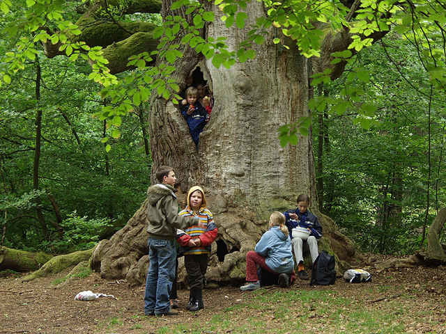
Beginn und Ende der Tour ist in Gottsbühren. Sie führt teilweise über Straßen wie auch über gut befestigte Waldwege. Laub-, Misch- und Nadelwald wechseln sich ab. Unglaubliche Einblicke in alte Eichenwälder erhält man teilweise rechts und links des Weges. Eine Tour, die sich lohnt und sowohl mit der Familie gemütlich wie auch mit dem Mountainbike sportlich gefahren werden kann.
Further information at
http://www.reinhardswald.deGaleria trasy
Mapa trasy i profil wysokości
Minimum height 177 m
Maximum height 428 m
Komentarze
GPS tracks
Trackpoints-
GPX / Garmin Map Source (gpx) download
-
TCX / Garmin Training Center® (tcx) download
-
CRS / Garmin Training Center® (crs) download
-
Google Earth (kml) download
-
G7ToWin (g7t) download
-
TTQV (trk) download
-
Overlay (ovl) download
-
Fugawi (txt) download
-
Kompass (DAV) Track (tk) download
-
Karta trasy (pdf) download
-
Original file of the author (gpx) download
Add to my favorites
Remove from my favorites
Edit tags
Open track
My score
Rate


Sababurg-Runde