Login

Zapomniałeś swój login?

Cookies have to be accepted!
Your browser's cookie functionality is disabled. Please enable this functionality.

Not a member yet?

Register now
Login

Available for registred users only

Log in to use this feature.

Zapomniałeś swój login?

Cookies have to be accepted!
Your browser's cookie functionality is disabled. Please enable this functionality.

Not a member yet?

Register now
Filter
Kategorie
Advanced filters
  • Długość (km)
  • Wysokość
Zapisz filtr Reset filter

TrackRank

QRCode

Technical data

Długość48,0 km Wysokość86 m Way down86 m Czas trwania05:30 h:m Data28.07.2013
Oceny Author Krajobraz Czynnik zadowolenia Kondycja Technika

Statystyka

293 Widoki Oceny 53 Downloads / Pliki do pobrania Przeciętnie
Rate
  • Karta trasy
  • Dojazd
  • Downloads / Pliki do pobrania

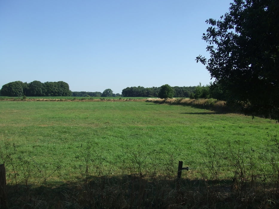
Wir sind in Dingden gestartet. Am Ortsausgang gings links in die Natur. Durch Feld, Wald und Wiesen fuhren wir fast ausschließlich auf gut zu befahrenden Wirtschaftswegen. Nach einer Kaffeepause kamen wir nach circa 5,5 Stunden an unserem Startplatz zurück.


Galeria trasy

Mapa trasy i profil wysokości

  • Open Street Map
  • Google
Minimum height 24 m Maximum height 50 m Widok szczegółowy

More about the tour author

civap
Member since 2012

Send private message

Komentarze


52.123464, 7.104837‎
+52° 7' 24.47", +7° 6' 17.41"


Krechtinger Straße 13

46499 Hamminkeln ‎ 


GPS tracks

Trackpoints
  • GPX / Garmin Map Source (gpx) download
  • TCX / Garmin Training Center® (tcx) download
  • CRS / Garmin Training Center® (crs) download
  • Google Earth (kml) download
  • G7ToWin (g7t) download
  • TTQV (trk) download
  • Overlay (ovl) download
  • Fugawi (txt) download
  • Kompass (DAV) Track (tk) download
  • Karta trasy (pdf) download
  • Original file of the author (gpx) download

More about the tour author

civap
Member since 2012

Send private message
Share track
Add to my favorites
Remove from my favorites
Edit tags
My score
Rate
Trasa: Zwischen Dingden und Aa
Rodzaj: Trasy rowerowe
Długość: 48,0 km
Evaluated on:
Czas trwania:
Day(s)
Hour(s)
Minute(s)
Ocena: Krajobraz Czynnik zadowolenia Kondycja Technika