


Laugentour: (16.07.2013)
Länge: 53 km
Dauer: 4:45h
technische Anforderung: sehr hoch
Kondition: hoch
Beschreibung:
- vom ersten Höhenmeter an eine fordernde Tour
- Bis zum Gampenpass auf normalen Wald- und Asphaltwegen
- hinter dem Gampenpass erwartet einem nach dem 400 hm anstieg eine idyllische baumfreie
Landschaft
- Achtung bei der Abfahrt: Wege sind in einem schlechten zustand
Mein Tipp bei zu unwegsamen Gelände: Rückfahrt über die Ultentalstraße oder
schon eher über die Schotterstraße hinter der Castrinalm
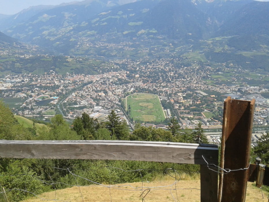
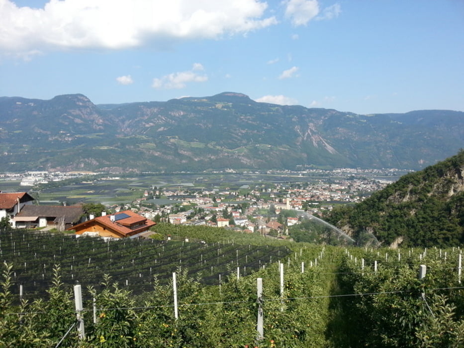
Galeria trasy


Mapa trasy i profil wysokości
Minimum height 346 m
Maximum height 1818 m
More about the tour author
|
|
Stummi |
Komentarze

GPS tracks
Trackpoints-
GPX / Garmin Map Source (gpx) download
-
TCX / Garmin Training Center® (tcx) download
-
CRS / Garmin Training Center® (crs) download
-
Google Earth (kml) download
-
G7ToWin (g7t) download
-
TTQV (trk) download
-
Overlay (ovl) download
-
Fugawi (txt) download
-
Kompass (DAV) Track (tk) download
-
Karta trasy (pdf) download
-
Original file of the author (gpx) download
More about the tour author
|
|
Stummi |
Add to my favorites
Remove from my favorites
Edit tags
Open track
My score
Rate